Röttenbach-Eglasmühle II
- 48.3 km
- 327 m
- 317 m
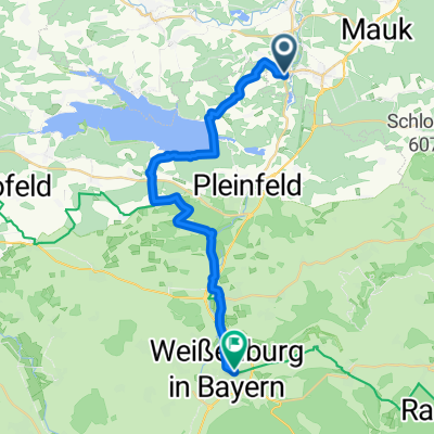
- Röttenbach, Bavaria, Germany
A cycling route starting in Röttenbach, Bavaria, Germany.
Overview
This tour connects all the villages of Röttenbach. First, it follows the Röttenbach stream up to the kindergarten. From there, take Niedermauker Straße. On the bike path, continue to Niedermauk. There, go under the railway line on the street until you reach the junction. Continue straight across the road, onto the old road to Spalt. Follow this until the connecting road to Oberbreitenlohe. Climb up and in town, before the inn 'Zum Anderbauer', turn right to Unterbreitenlohe. At the end of the village, turn left onto the field path into the valley. In Unterbreitenlohe, you can make a detour to the pond and the ferry. After that, follow the road uphill towards Mühlstetten. After the Mühlstetten sports field, turn right and let the bike roll down to Pleinfelder Straße, just below the train station. Enjoy the beautiful view to the south, where you can see Sandsee Castle. In Mühlstetten, you will cross the Rezeat again and turn left after the bridge onto the Röttenbacher greenway. Follow this until the treatment plant, then turn right, past the Slittenberg and the fishing ponds, until you reach the Kneipp pool, where you can finish your tour. To return to the starting point, just take the small ascent past the workshop up to Mühlstettener Straße. In the village shop, you can quench your thirst and hunger.
created this 11 years ago
Route quality
Quiet road
3.5 km
(35 %)
Track
3.5 km
(35 %)
Paved
5.4 km
(54 %)
Unpaved
2.5 km
(25 %)
Asphalt
4.2 km
(42 %)
Gravel
1.5 km
(15 %)
Continue with Bikemap
You would like to ride Rund um Röttenbach or customize it for your own trip? Here is what you can do with this Bikemap route:
Free trial for 3 days, or one-time payment. More about Bikemap Premium.
Discover more Premium features.
Get Bikemap PremiumFrom our community
Open it in the app