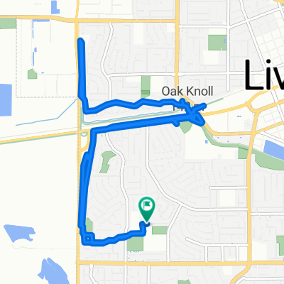
Route around Livermore
- 47.5 km
- 186 m
- 176 m
- Livermore, California, United States
A cycling route starting in Livermore, California, United States.
Overview
A short warm up out of the airport. Then some climbing through the foothills. Then a 15 mile climb up Mt Diablo. After the racers come through, it's another 30 back to Pleasanton. All in all, a nice 70 mile day while watching the pros.
created this 12 years ago
Route quality
Quiet road
18.6 km
40 %
Road
5.1 km
11 %
Paved
20.5 km
(44 %)
Asphalt
20 km
43 %
Concrete
0.5 km
1 %
Undefined
26 km
56 %
Continue with Bikemap
You would like to ride Mt Diablo or customize it for your own trip? Here is what you can do with this Bikemap route:
Free trial for 3 days, or one-time payment. More about Bikemap Premium.
Discover more Premium features.
Get Bikemap PremiumFrom our community
Open it in the app