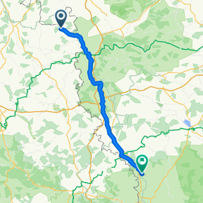
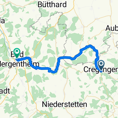
Creglingen-Würzburg
- 110.8 km
- 341 m
- 412 m
- Creglingen, Baden-Wurttemberg, Germany
A cycling route starting in Creglingen, Baden-Wurttemberg, Germany.
Overview
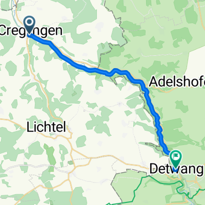
In Archshofen, the route begins. It immediately goes up the Finsterlohrer Steige - about 1.5 km at around 8-10%. At the top, it first levels out, but after turning right towards Schmerbach, one rides up and down gentle elevations. A short descent into the village of Schmerbach. There, one turns right towards Münster. The approximately 2 km descent to Münster goes through a forest and on a slightly bumpy asphalt road (a rather old and often repaired surface). The surface improves again from Münster and, relatively flat, it goes past the Herrgottskirche into Creglingen. In Creglingen, one turns right onto the bike path through the 'Liebliche Taubertal', which immediately presents a mini-climb (100 m at about 14%). Then gently rising to the tennis court and from there to Craintal, a well-paved bike path descends slightly. The last two kilometers from Craintal go up gently again at first and finish with a short descent into Archshofen to complete the route.
created this 16 years ago
Route quality
Road
5.7 km
(34 %)
Track
2.4 km
(14 %)
Paved
10.9 km
(65 %)
Asphalt
10.8 km
(64 %)
Paved (undefined)
0.2 km
(1 %)
Undefined
5.9 km
(35 %)
Continue with Bikemap
You would like to ride Creglinger Runde or customize it for your own trip? Here is what you can do with this Bikemap route:
Free trial for 3 days, or one-time payment. More about Bikemap Premium.
Discover more Premium features.
Get Bikemap PremiumFrom our community
Open it in the app