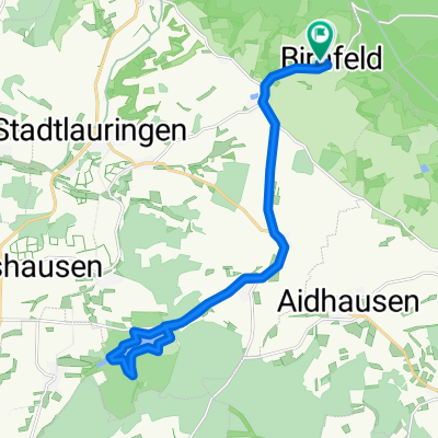
Rund um die Schwedenschanze 140219
A cycling route starting in Stadtlauringen, Bavaria, Germany.
Overview
About this route
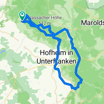
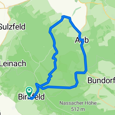
Around Rennweg and Schwedenschanze, starting point Stadtlauringen. Mostly forest paths, just under 1100 meters of elevation
- -:--
- Duration
- 54.9 km
- Distance
- 618 m
- Ascent
- 615 m
- Descent
- ---
- Avg. speed
- ---
- Max. altitude
Route quality
Waytypes & surfaces along the route
Waytypes
Track
40.1 km
(73 %)
Road
5.5 km
(10 %)
Surfaces
Paved
17 km
(31 %)
Unpaved
29.1 km
(53 %)
Gravel
25.8 km
(47 %)
Asphalt
14.8 km
(27 %)
Continue with Bikemap
Use, edit, or download this cycling route
You would like to ride Rund um die Schwedenschanze 140219 or customize it for your own trip? Here is what you can do with this Bikemap route:
Free features
- Save this route as favorite or in collections
- Copy & plan your own version of this route
- Sync your route with Garmin or Wahoo
Premium features
Free trial for 3 days, or one-time payment. More about Bikemap Premium.
- Navigate this route on iOS & Android
- Export a GPX / KML file of this route
- Create your custom printout (try it for free)
- Download this route for offline navigation
Discover more Premium features.
Get Bikemap PremiumFrom our community
Other popular routes starting in Stadtlauringen
birnfeld nassach rottenstein friesenhausen happertshausen nassach birnfeld- Distance
- 16 km
- Ascent
- 313 m
- Descent
- 311 m
- Location
- Stadtlauringen, Bavaria, Germany
birnfeld hofheim b303 abersfeld reichmannshausen maßbach stadtlauringen birnfeld- Distance
- 63.6 km
- Ascent
- 424 m
- Descent
- 424 m
- Location
- Stadtlauringen, Bavaria, Germany
Runde Münnerstadt-Stadtlauringen- Distance
- 68.5 km
- Ascent
- 212 m
- Descent
- 239 m
- Location
- Stadtlauringen, Bavaria, Germany
birnfeld wetzhausen sulzdorf wettringen nassach birnfeld- Distance
- 16.3 km
- Ascent
- 138 m
- Descent
- 138 m
- Location
- Stadtlauringen, Bavaria, Germany
Birnfeld Schweinfurt Haßfurt Hofheim Birnfeld- Distance
- 76 km
- Ascent
- 321 m
- Descent
- 321 m
- Location
- Stadtlauringen, Bavaria, Germany
Ellertshäuser See- Distance
- 4.2 km
- Ascent
- 30 m
- Descent
- 120 m
- Location
- Stadtlauringen, Bavaria, Germany
Oberlauringen zum Main und Wern- Distance
- 80.7 km
- Ascent
- 393 m
- Descent
- 393 m
- Location
- Stadtlauringen, Bavaria, Germany
Ellertshäuser See- Distance
- 37.8 km
- Ascent
- 357 m
- Descent
- 357 m
- Location
- Stadtlauringen, Bavaria, Germany
Open it in the app

