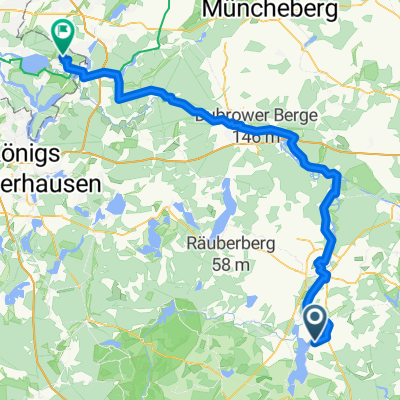
Recovered Route
- 18.4 km
- 83 m
- 82 m
- Friedland, Brandenburg, Germany
A cycling route starting in Friedland, Brandenburg, Germany.
Overview
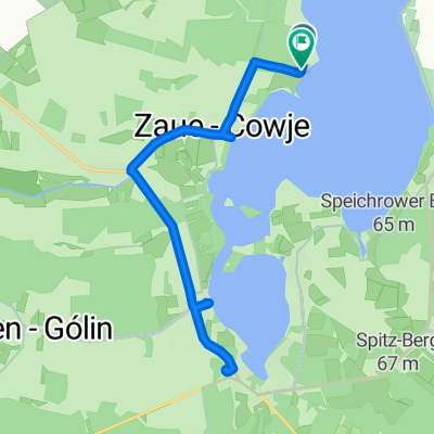
Smallest paved loop around the lake
Route quality
Quiet road
11.8 km
(25 %)
Road
6.1 km
(13 %)
Paved
44.5 km
(94 %)
Unpaved
0.5 km
(1 %)
Asphalt
44.5 km
(94 %)
Gravel
0.5 km
(1 %)
Undefined
2.4 km
(5 %)
Continue with Bikemap
You would like to ride Klein Rondje Schwielochsee 48 km or customize it for your own trip? Here is what you can do with this Bikemap route:
Free trial for 3 days, or one-time payment. More about Bikemap Premium.
Discover more Premium features.
Get Bikemap PremiumFrom our community
Open it in the app