Nice Saturday Ride
A cycling route starting in Sherman Oaks, California, United States of America.
Overview
About this route
2/21/14, 4:16 PM
- -:--
- Duration
- 36.9 km
- Distance
- 64 m
- Ascent
- 64 m
- Descent
- ---
- Avg. speed
- ---
- Avg. speed
Continue with Bikemap
Use, edit, or download this cycling route
You would like to ride Nice Saturday Ride or customize it for your own trip? Here is what you can do with this Bikemap route:
Free features
- Save this route as favorite or in collections
- Copy & plan your own version of this route
- Sync your route with Garmin or Wahoo
Premium features
Free trial for 3 days, or one-time payment. More about Bikemap Premium.
- Navigate this route on iOS & Android
- Export a GPX / KML file of this route
- Create your custom printout (try it for free)
- Download this route for offline navigation
Discover more Premium features.
Get Bikemap PremiumFrom our community
Other popular routes starting in Sherman Oaks
- Long bike tour through Los Angeles
- Distance
- 33.1 km
- Ascent
- 81 m
- Descent
- 149 m
- Location
- Sherman Oaks, California, United States of America
- 14101 Dickens St, Los Angeles to 14120 Dickens St, Los Angeles
- Distance
- 12.9 km
- Ascent
- 296 m
- Descent
- 295 m
- Location
- Sherman Oaks, California, United States of America
- Short ride through Los Angeles
- Distance
- 5.9 km
- Ascent
- 29 m
- Descent
- 18 m
- Location
- Sherman Oaks, California, United States of America
- Brief bike tour through Los Angeles
- Distance
- 5.6 km
- Ascent
- 0 m
- Descent
- 0 m
- Location
- Sherman Oaks, California, United States of America
- Burbank Boulevard 16655, Los Angeles to Burbank Boulevard 16663, Los Angeles
- Distance
- 24.1 km
- Ascent
- 46 m
- Descent
- 36 m
- Location
- Sherman Oaks, California, United States of America
- 4085 Mandeville Canyon Rd, Los Angeles to 1340 Princeton St, Santa Monica
- Distance
- 12.3 km
- Ascent
- 7 m
- Descent
- 397 m
- Location
- Sherman Oaks, California, United States of America
- Mulholland - bi-directional
- Distance
- 18 km
- Ascent
- 408 m
- Descent
- 469 m
- Location
- Sherman Oaks, California, United States of America
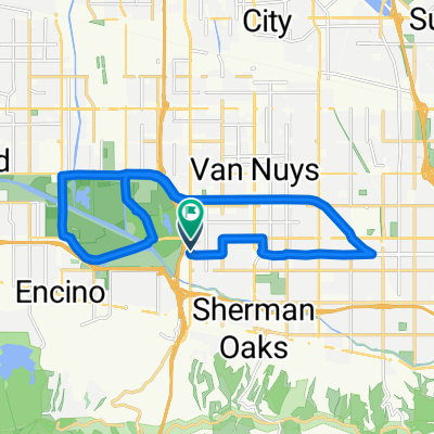
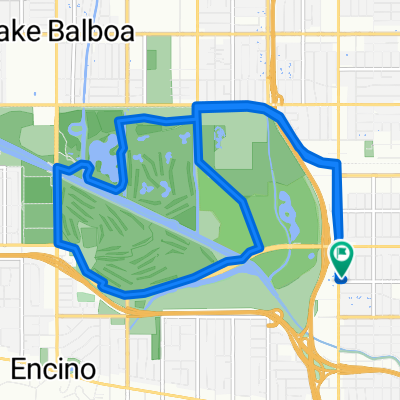
- 2600 Franklin Canyon Dr, Los Angeles to 2600 Franklin Canyon Dr, Los Angeles
- Distance
- 3.2 km
- Ascent
- 58 m
- Descent
- 57 m
- Location
- Sherman Oaks, California, United States of America
Open it in the app