um de flughafe
- 32.7 km
- 168 m
- 227 m
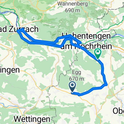
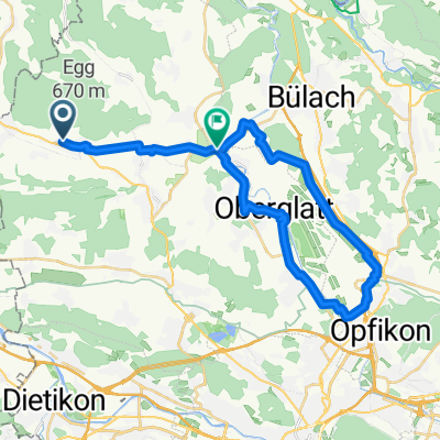
- Steinmaur, Canton of Zurich, Switzerland
A cycling route starting in Steinmaur, Canton of Zurich, Switzerland.
Overview
Warm-up on February 24, 2014, 4:30 PM
created this 11 years ago
Route quality
Road
12.3 km
(43 %)
Quiet road
2.9 km
(10 %)
Paved
18.9 km
(66 %)
Asphalt
18.9 km
(66 %)
Undefined
9.7 km
(34 %)
Continue with Bikemap
You would like to ride Aufwärmen Bachsertal or customize it for your own trip? Here is what you can do with this Bikemap route:
Free trial for 3 days, or one-time payment. More about Bikemap Premium.
Discover more Premium features.
Get Bikemap PremiumFrom our community
Open it in the app