

02 - La ciclabile della Drava
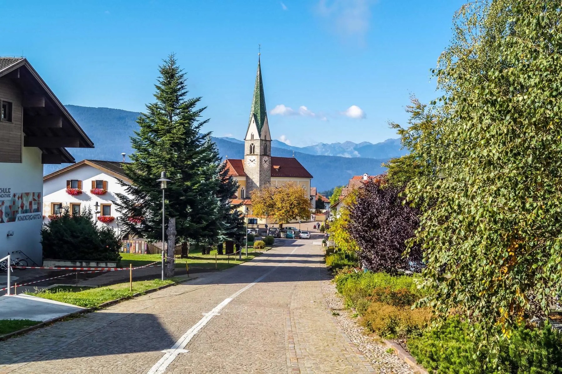
A cycling route starting in Toblach, Trentino-Alto Adige, Italy.
Overview
About this route
Il Percorso della ciclabile Dobbiaco - San Candido - Lienz è sicuramente la più famosa e classica pista ciclabile ed una delle più belle delle Dolomiti.E' una ciclabile di facile percorrenza con una limitata pendenza da Dobbiaco a Lienz e con zone con maggiore pendenza, particolarmente pericolose in momenti di maggior concentrazione di utenti, tanto che il percorso inverso non è raccomandato da Luglio ad Agosto.Entrati in Austria si percorrono 13 chilometri per raggiungere Sillian piccolo paese nel Tirolo orientale.La pista prosegue per altri 18 km in mezzo ai boschi tra i paesi di Tassenbach e Mittewald per poi arrivare a Thal paese natale di Arnold Schwarzenegger. In un breve tratto di qualche chilometro di pista va fatta attenzione per via di alcune pendenze. È segnalato su cartelli l’avviso di mantenere la distanza di sicurezza. Si raccomanda la massima attenzione per evitare brutti incidenti. I 16 km che mancano circa circa per arrivare a Lienz si percorrono sempre immersi nel verde tra piacevoli saliscendi.
- -:--
- Duration
- 47.7 km
- Distance
- 62 m
- Ascent
- 601 m
- Descent
- ---
- Avg. speed
- ---
- Max. altitude

Route quality
Waytypes & surfaces along the route
Waytypes
Busy road
33.5 km
(70 %)
Quiet road
5.6 km
(12 %)
Surfaces
Paved
36.8 km
(77 %)
Unpaved
0.1 km
(<1 %)
Asphalt
36.5 km
(77 %)
Paved (undefined)
0.3 km
(<1 %)
Route highlights
Points of interest along the route
Point of interest after 0.2 km
ALPINE TOURING HOTEL
Point of interest after 18.7 km
LOACKER
Point of interest after 42.9 km
Amlach 15 9900 Amlach
Continue with Bikemap
Use, edit, or download this cycling route
You would like to ride 02 - La ciclabile della Drava or customize it for your own trip? Here is what you can do with this Bikemap route:
Free features
- Save this route as favorite or in collections
- Copy & plan your own version of this route
- Sync your route with Garmin or Wahoo
Premium features
Free trial for 3 days, or one-time payment. More about Bikemap Premium.
- Navigate this route on iOS & Android
- Export a GPX / KML file of this route
- Create your custom printout (try it for free)
- Download this route for offline navigation
Discover more Premium features.
Get Bikemap PremiumFrom our community
Other popular routes starting in Toblach
 Toblach to Brixen - etappe 1 tdf 2025
- Distance
- 75 km
- Ascent
- 1,408 m
- Descent
- 2,062 m
- Location
- Toblach, Trentino-Alto Adige, Italy
 Unbenannte Route
- Distance
- 131.8 km
- Ascent
- 4,392 m
- Descent
- 5,286 m
- Location
- Toblach, Trentino-Alto Adige, Italy
 Dobbiaco - Calalzo di Cadore
- Distance
- 63 km
- Ascent
- 325 m
- Descent
- 851 m
- Location
- Toblach, Trentino-Alto Adige, Italy
 Un Passo dal Cielo Agosto 2021-Dobbiaco, lago di Braies
- Distance
- 15.7 km
- Ascent
- 502 m
- Descent
- 200 m
- Location
- Toblach, Trentino-Alto Adige, Italy
 Drau/Drava - Etappe I
- Distance
- 54.9 km
- Ascent
- 12 m
- Descent
- 565 m
- Location
- Toblach, Trentino-Alto Adige, Italy
 Markinkele
- Distance
- 51.1 km
- Ascent
- 1,443 m
- Descent
- 1,443 m
- Location
- Toblach, Trentino-Alto Adige, Italy
 3. etappe, 12. mai, Dobbiacio til Cortina d’Ampezzo
- Distance
- 30.2 km
- Ascent
- 539 m
- Descent
- 536 m
- Location
- Toblach, Trentino-Alto Adige, Italy
 Drauradweg Gesamtstrecke: Toblach-(Varaždin)Legrad
- Distance
- 513.2 km
- Ascent
- 4,683 m
- Descent
- 5,770 m
- Location
- Toblach, Trentino-Alto Adige, Italy
Open it in the app