

Paesaggi di Scozia
A cycling route starting in Glasgow, Scotland, United Kingdom.
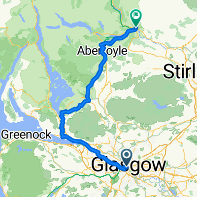
Overview
About this route
Accommodation: Glasgow, Fort William, Inverness, Ullapool, Thurso, Grantown on Spey, Edinburgh
- -:--
- Duration
- 1,743.1 km
- Distance
- 2,191 m
- Ascent
- 2,151 m
- Descent
- ---
- Avg. speed
- ---
- Max. altitude

Route highlights
Points of interest along the route
Point of interest after 0.6 km
Glasgow
Point of interest after 60.4 km
Loch Katrine
Point of interest after 313.1 km
Mallaig
Point of interest after 387.4 km
Isola di Skye
Point of interest after 642.3 km
Fort Augustus
Point of interest after 667.6 km
Loch Ness
Point of interest after 696.3 km
Inverness
Point of interest after 829.4 km
Inverewe Gardens
Point of interest after 908.8 km
Ullapol
Point of interest after 1,137.1 km
Thurso
Point of interest after 1,185.2 km
Isole Orcadi
Point of interest after 1,201.9 km
Burwick
Point of interest after 1,490.1 km
Grantown on Spey
Point of interest after 1,590.4 km
Blair Castle
Point of interest after 1,601.9 km
Pitlochry
Point of interest after 1,700.6 km
New Lanark
Point of interest after 1,743 km
Edimburgo
Continue with Bikemap
Use, edit, or download this cycling route
You would like to ride Paesaggi di Scozia or customize it for your own trip? Here is what you can do with this Bikemap route:
Free features
- Save this route as favorite or in collections
- Copy & plan your own version of this route
- Split it into stages to create a multi-day tour
- Sync your route with Garmin or Wahoo
Premium features
Free trial for 3 days, or one-time payment. More about Bikemap Premium.
- Navigate this route on iOS & Android
- Export a GPX / KML file of this route
- Create your custom printout (try it for free)
- Download this route for offline navigation
Discover more Premium features.
Get Bikemap PremiumFrom our community
Other popular routes starting in Glasgow
 Brief ride through Glasgow
- Distance
- 9.7 km
- Ascent
- 64 m
- Descent
- 60 m
- Location
- Glasgow, Scotland, United Kingdom
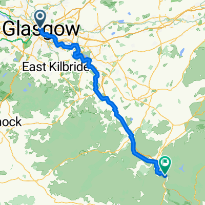
 Work to Home Planned
- Distance
- 41.1 km
- Ascent
- 315 m
- Descent
- 193 m
- Location
- Glasgow, Scotland, United Kingdom
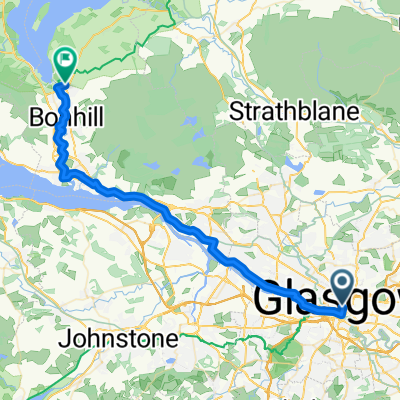 1 Glasgow - Balloch
- Distance
- 35.5 km
- Ascent
- 85 m
- Descent
- 88 m
- Location
- Glasgow, Scotland, United Kingdom
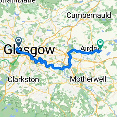
 Glasgow - Abington
- Distance
- 82.4 km
- Ascent
- 861 m
- Descent
- 633 m
- Location
- Glasgow, Scotland, United Kingdom
 GLASGOW to EDINBURGH
- Distance
- 1,292.3 km
- Ascent
- 2,217 m
- Descent
- 2,170 m
- Location
- Glasgow, Scotland, United Kingdom
 Glasgow to New Lanark (Imported)
- Distance
- 149.4 km
- Ascent
- 1,810 m
- Descent
- 1,629 m
- Location
- Glasgow, Scotland, United Kingdom
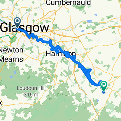
 Glasgow Central to Callander
- Distance
- 83.6 km
- Ascent
- 820 m
- Descent
- 775 m
- Location
- Glasgow, Scotland, United Kingdom
 Scotland 1 (glasgow to Fort William)
- Distance
- 208.9 km
- Ascent
- 932 m
- Descent
- 945 m
- Location
- Glasgow, Scotland, United Kingdom
Open it in the app