Risco Blanco XL
A cycling route starting in San Bartolomé de Tirajana, Canary Islands, Spain.
Overview
About this route
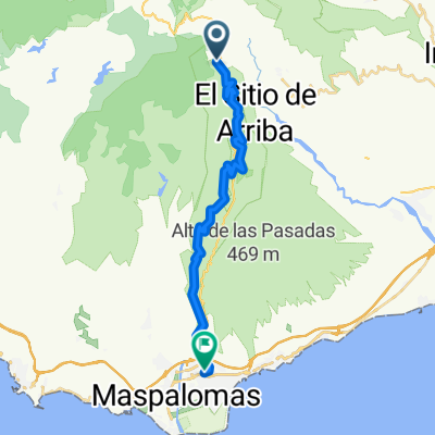
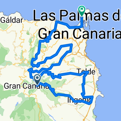
Risco Blanco XL tour as guided by Free Motion. Shutteled to the start. Ends in Maspalomas.
- -:--
- Duration
- 53.6 km
- Distance
- 627 m
- Ascent
- 1,655 m
- Descent
- ---
- Avg. speed
- ---
- Avg. speed
Route quality
Waytypes & surfaces along the route
Waytypes
Track
26.2 km
(49 %)
Road
9.3 km
(17 %)
Surfaces
Paved
20.1 km
(38 %)
Unpaved
26.1 km
(49 %)
Ground
20.4 km
(38 %)
Asphalt
16.8 km
(31 %)
Continue with Bikemap
Use, edit, or download this cycling route
You would like to ride Risco Blanco XL or customize it for your own trip? Here is what you can do with this Bikemap route:
Free features
- Save this route as favorite or in collections
- Copy & plan your own version of this route
- Sync your route with Garmin or Wahoo
Premium features
Free trial for 3 days, or one-time payment. More about Bikemap Premium.
- Navigate this route on iOS & Android
- Export a GPX / KML file of this route
- Create your custom printout (try it for free)
- Download this route for offline navigation
Discover more Premium features.
Get Bikemap PremiumFrom our community
Other popular routes starting in San Bartolomé de Tirajana
- Cruz Grande
- Distance
- 14.8 km
- Ascent
- 712 m
- Descent
- 711 m
- Location
- San Bartolomé de Tirajana, Canary Islands, Spain
- Presa de Chira
- Distance
- 37.3 km
- Ascent
- 879 m
- Descent
- 879 m
- Location
- San Bartolomé de Tirajana, Canary Islands, Spain
- SBart-PIngles-Vecindar-Agui-SBart 85km
- Distance
- 84.3 km
- Ascent
- 1,332 m
- Descent
- 1,332 m
- Location
- San Bartolomé de Tirajana, Canary Islands, Spain
- cruz grande-degollada de las lleguas-fataga-piconera-maspa
- Distance
- 32.8 km
- Ascent
- 186 m
- Descent
- 1,370 m
- Location
- San Bartolomé de Tirajana, Canary Islands, Spain
- Risco Blanco XL
- Distance
- 53.6 km
- Ascent
- 627 m
- Descent
- 1,655 m
- Location
- San Bartolomé de Tirajana, Canary Islands, Spain
- Pico de Las Nieves - Telde (Las Haciendas)
- Distance
- 23.3 km
- Ascent
- 60 m
- Descent
- 1,823 m
- Location
- San Bartolomé de Tirajana, Canary Islands, Spain
- CALDERA LOS MARTELES A ARINAGA
- Distance
- 30 km
- Ascent
- 103 m
- Descent
- 1,814 m
- Location
- San Bartolomé de Tirajana, Canary Islands, Spain
- San Bartolome ronde
- Distance
- 62.9 km
- Ascent
- 1,119 m
- Descent
- 1,120 m
- Location
- San Bartolomé de Tirajana, Canary Islands, Spain
Open it in the app