

Hot Doggett Metric Century (2009)
A cycling route starting in Mars Hill, North Carolina, United States.
Overview
About this route
The 100K course begins on Highway 213 and turns onto Bone Camp Road (affectionately known as Bone Crusher). Be careful on the descent to East Fork Road. Next we travel through the Grapevine Community with a challenging three-mile climb and some incredible scenery along the way. Next we descend to Big Laurel with more great scenery along Laurel Creek.
While in the Big Laurel community we pass by Revere and Spill Corn communities on the way to historic Shelton Laurel. In Shelton Laurel we climb to the top of Devils Fork, including an 1/8-mile section reaching 15% grade. At the top is the Appalachian Trail and a rest stop!
Descending into Tennessee, there are more great views. Once in Flag Pond you will be faced with a challenging five-mile climb up Sams Gap to another rest stop. A screaming descent back into North Carolina awaits, with one last climb up Murray Mountain and another screaming descent into Mars Hill.
- -:--
- Duration
- 103 km
- Distance
- 2,651 m
- Ascent
- 2,482 m
- Descent
- ---
- Avg. speed
- 973 m
- Max. altitude
Route quality
Waytypes & surfaces along the route
Waytypes
Quiet road
48.4 km
(47 %)
Access road
4.1 km
(4 %)
Undefined
50.4 km
(49 %)
Surfaces
Paved
67.9 km
(66 %)
Unpaved
5.1 km
(5 %)
Asphalt
66.9 km
(65 %)
Gravel
4.1 km
(4 %)
Continue with Bikemap
Use, edit, or download this cycling route
You would like to ride Hot Doggett Metric Century (2009) or customize it for your own trip? Here is what you can do with this Bikemap route:
Free features
- Save this route as favorite or in collections
- Copy & plan your own version of this route
- Split it into stages to create a multi-day tour
- Sync your route with Garmin or Wahoo
Premium features
Free trial for 3 days, or one-time payment. More about Bikemap Premium.
- Navigate this route on iOS & Android
- Export a GPX / KML file of this route
- Create your custom printout (try it for free)
- Download this route for offline navigation
Discover more Premium features.
Get Bikemap PremiumFrom our community
Other popular routes starting in Mars Hill
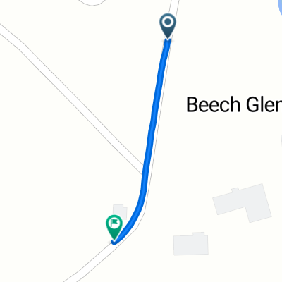 Beech Glen Road to Blue Herron Road
- Distance
- 0.6 km
- Ascent
- 42 m
- Descent
- 0 m
- Location
- Mars Hill, North Carolina, United States
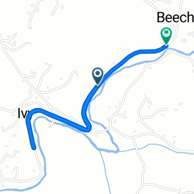 Beech Glen Road to Beech Glen Road
- Distance
- 2.5 km
- Ascent
- 52 m
- Descent
- 12 m
- Location
- Mars Hill, North Carolina, United States
 North Main Street 114, Mars Hill to North Main Street 114, Mars Hill
- Distance
- 34 km
- Ascent
- 462 m
- Descent
- 462 m
- Location
- Mars Hill, North Carolina, United States
 Hot Doggett Metric Century (2009)
- Distance
- 103 km
- Ascent
- 2,651 m
- Descent
- 2,482 m
- Location
- Mars Hill, North Carolina, United States
Open it in the app