

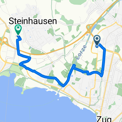
Lorzentobel - Trainingsstrecke
A cycling route starting in Baar, Canton of Zug, Switzerland.
Overview
About this route
Ideal route for endurance training during the lunch break or as an evening round. The short route is also recommended as a day trip with beautiful views. No traffic. Along the way, there are various grill spots. Unfortunately, there is an unfathomable general traffic ban at the top, hence the short loop to the main road. You ride the short stretch on the sidewalk without crossing the street. Despite approximately 600 m of very good natural road in the Lorzentobel, the route is well suited for racing bikes. In the opposite direction from EW to Oberalmig, there is a short but steep ascent.
142 meters of elevation gain per loop.
- -:--
- Duration
- 7.1 km
- Distance
- 209 m
- Ascent
- 206 m
- Descent
- ---
- Avg. speed
- ---
- Max. altitude
Continue with Bikemap
Use, edit, or download this cycling route
You would like to ride Lorzentobel - Trainingsstrecke or customize it for your own trip? Here is what you can do with this Bikemap route:
Free features
- Save this route as favorite or in collections
- Copy & plan your own version of this route
- Sync your route with Garmin or Wahoo
Premium features
Free trial for 3 days, or one-time payment. More about Bikemap Premium.
- Navigate this route on iOS & Android
- Export a GPX / KML file of this route
- Create your custom printout (try it for free)
- Download this route for offline navigation
Discover more Premium features.
Get Bikemap PremiumFrom our community
Other popular routes starting in Baar
 Route um den Lindenberg, Grossmattstollen
- Distance
- 60.9 km
- Ascent
- 2,583 m
- Descent
- 2,581 m
- Location
- Baar, Canton of Zug, Switzerland
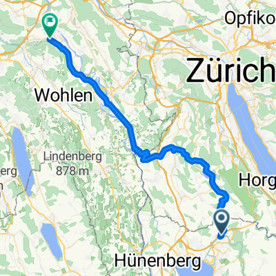 Baar - Mägenwil Aemtliweg
- Distance
- 45.3 km
- Ascent
- 428 m
- Descent
- 487 m
- Location
- Baar, Canton of Zug, Switzerland
 Bikecorner to Home
- Distance
- 6.9 km
- Ascent
- 19 m
- Descent
- 29 m
- Location
- Baar, Canton of Zug, Switzerland
 Eschenweg, Baar to Eschenweg, Baar
- Distance
- 28 km
- Ascent
- 424 m
- Descent
- 427 m
- Location
- Baar, Canton of Zug, Switzerland
 Glaubenbüelenpass
- Distance
- 177.8 km
- Ascent
- 2,520 m
- Descent
- 2,328 m
- Location
- Baar, Canton of Zug, Switzerland
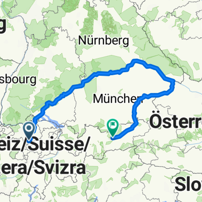 Donau-Inn-2025
- Distance
- 935.5 km
- Ascent
- 5,767 m
- Descent
- 5,623 m
- Location
- Baar, Canton of Zug, Switzerland
 9 Seentour
- Distance
- 226.8 km
- Ascent
- 2,908 m
- Descent
- 2,906 m
- Location
- Baar, Canton of Zug, Switzerland
 Baar, Sattel, Wildspitz Zugerberg, Baar
- Distance
- 50.8 km
- Ascent
- 1,149 m
- Descent
- 1,166 m
- Location
- Baar, Canton of Zug, Switzerland
Open it in the app