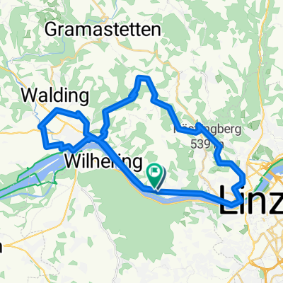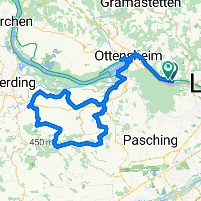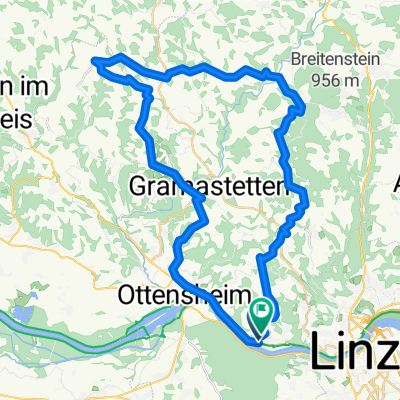
Route in Puchenau
- 51.1 km
- 1,395 m
- 1,392 m
- Leonding, Upper Austria, Austria
A cycling route starting in Leonding, Upper Austria, Austria.
Overview
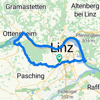
Group ride with Finki, discovered new sections of the route again.
created this 16 years ago
Route quality
Road
34.9 km
(34 %)
Quiet road
23.6 km
(23 %)
Paved
57.5 km
(56 %)
Unpaved
2.1 km
(2 %)
Asphalt
56.4 km
(55 %)
Paved (undefined)
1 km
(1 %)
Continue with Bikemap
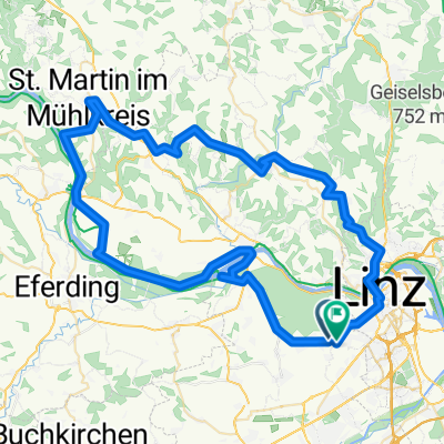
You would like to ride Linz Axberg Waizenkirchen Aschach Linz or customize it for your own trip? Here is what you can do with this Bikemap route:
Free trial for 3 days, or one-time payment. More about Bikemap Premium.
Discover more Premium features.
Get Bikemap PremiumFrom our community
Open it in the app