

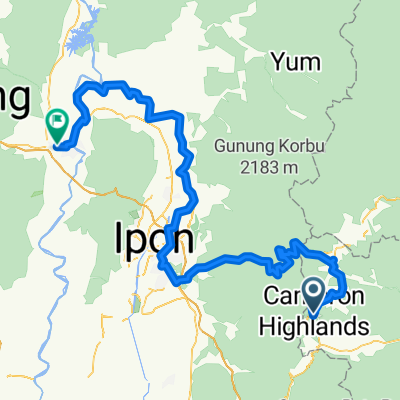
J48 - Tanah Rata - Kuala Lipis
A cycling route starting in Tanah Rata, Pahang, Malaysia.
Overview
About this route
J48 - Lundi 03 mars 2014 - Tanah Rata - Kuala Lipis -136 kms - moyenne 15,95 kms / h - dénivelé montant 1 044 m - dénivelé descendant 2 317 m - pente Maxi 9 %.
- -:--
- Duration
- 134.3 km
- Distance
- 387 m
- Ascent
- 1,750 m
- Descent
- ---
- Avg. speed
- ---
- Max. altitude
Route quality
Waytypes & surfaces along the route
Waytypes
Quiet road
8.1 km
(6 %)
Road
2.7 km
(2 %)
Surfaces
Paved
111.4 km
(83 %)
Asphalt
111.4 km
(83 %)
Undefined
22.8 km
(17 %)
Continue with Bikemap
Use, edit, or download this cycling route
You would like to ride J48 - Tanah Rata - Kuala Lipis or customize it for your own trip? Here is what you can do with this Bikemap route:
Free features
- Save this route as favorite or in collections
- Copy & plan your own version of this route
- Split it into stages to create a multi-day tour
- Sync your route with Garmin or Wahoo
Premium features
Free trial for 3 days, or one-time payment. More about Bikemap Premium.
- Navigate this route on iOS & Android
- Export a GPX / KML file of this route
- Create your custom printout (try it for free)
- Download this route for offline navigation
Discover more Premium features.
Get Bikemap PremiumFrom our community
Other popular routes starting in Tanah Rata
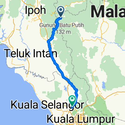 Rawang - Cameron Highlands
- Distance
- 187.8 km
- Ascent
- 399 m
- Descent
- 1,746 m
- Location
- Tanah Rata, Pahang, Malaysia
 tanah rata - raub
- Distance
- 50.9 km
- Ascent
- 305 m
- Descent
- 1,362 m
- Location
- Tanah Rata, Pahang, Malaysia
 cameron - night market
- Distance
- 11.7 km
- Ascent
- 191 m
- Descent
- 191 m
- Location
- Tanah Rata, Pahang, Malaysia
 201006 Cameron Highlands 100km Ride
- Distance
- 100.3 km
- Ascent
- 1,634 m
- Descent
- 1,634 m
- Location
- Tanah Rata, Pahang, Malaysia
 J48 - Tanah Rata - Kuala Lipis
- Distance
- 134.3 km
- Ascent
- 387 m
- Descent
- 1,750 m
- Location
- Tanah Rata, Pahang, Malaysia
 Cameron H - Kuala Kansar
- Distance
- 172.6 km
- Ascent
- 511 m
- Descent
- 1,903 m
- Location
- Tanah Rata, Pahang, Malaysia
 J47 - Kampung Raja - Tanah Rata
- Distance
- 21.5 km
- Ascent
- 568 m
- Descent
- 418 m
- Location
- Tanah Rata, Pahang, Malaysia
 J11-Malaisie_Ringlet-Brinchang-07-03-2011
- Distance
- 16.8 km
- Ascent
- 607 m
- Descent
- 215 m
- Location
- Tanah Rata, Pahang, Malaysia
Open it in the app