TourBC 2007
A cycling route starting in Penticton, British Columbia, Canada.
Overview
About this route
TourBC 2007
Seven day trip through BC southern interior, starting and ending in Penticton.
Day 1: Penticton to Armstrong
Day 2: Armstrong to Revelstoke
Day 3: Revelstoke to Nakusp
Day 4: Nakusp to Castlegar
Day 5: Castlegar to Grand Forks
Day 6: Grand Forks to Osoyoos
Day 7: Osoyoos to Penticton
- -:--
- Duration
- 815.2 km
- Distance
- 3,425 m
- Ascent
- 3,427 m
- Descent
- ---
- Avg. speed
- ---
- Avg. speed
Route highlights
Points of interest along the route
Point of interest after 134.5 km
Day 1 end at Fairground in Armstrong.
Point of interest after 369.9 km
Day 3 end at campground in Nakusp
Point of interest after 515.2 km
Day 4 end at campground in Castlegar
Point of interest after 620.5 km
Day 5 end at campground in downtown Grand Forks
Point of interest after 752.1 km
Day 6 end at campground in Osoyoos
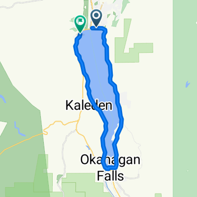
Continue with Bikemap
Use, edit, or download this cycling route
You would like to ride TourBC 2007 or customize it for your own trip? Here is what you can do with this Bikemap route:
Free features
- Save this route as favorite or in collections
- Copy & plan your own version of this route
- Sync your route with Garmin or Wahoo
Premium features
Free trial for 3 days, or one-time payment. More about Bikemap Premium.
- Navigate this route on iOS & Android
- Export a GPX / KML file of this route
- Create your custom printout (try it for free)
- Download this route for offline navigation
Discover more Premium features.
Get Bikemap PremiumFrom our community
Other popular routes starting in Penticton
- Kettle Valley Rail Trail (Summerland-Pentiction Alternate)
- Distance
- 2.5 km
- Ascent
- 34 m
- Descent
- 0 m
- Location
- Penticton, British Columbia, Canada
- Penticton_to_Summerland_GiantHead_Camp Boyle
- Distance
- 90.6 km
- Ascent
- 933 m
- Descent
- 950 m
- Location
- Penticton, British Columbia, Canada
- Naramata winery tour
- Distance
- 48.8 km
- Ascent
- 555 m
- Descent
- 532 m
- Location
- Penticton, British Columbia, Canada
- P - M - Summerland Bench
- Distance
- 64.2 km
- Ascent
- 532 m
- Descent
- 532 m
- Location
- Penticton, British Columbia, Canada
- TourBC 2007
- Distance
- 815.2 km
- Ascent
- 3,425 m
- Descent
- 3,427 m
- Location
- Penticton, British Columbia, Canada
- Naramata Winery Route
- Distance
- 16.9 km
- Ascent
- 236 m
- Descent
- 237 m
- Location
- Penticton, British Columbia, Canada
- Steady ride in
- Distance
- 9.6 km
- Ascent
- 151 m
- Descent
- 148 m
- Location
- Penticton, British Columbia, Canada
- Green Mtn Willowbank OK Falls Round trip 72
- Distance
- 73 km
- Ascent
- 930 m
- Descent
- 930 m
- Location
- Penticton, British Columbia, Canada
Open it in the app