Schulstraße 19R nach Schulstraße 19R
- 15.8 km
- 202 m
- 240 m
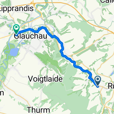
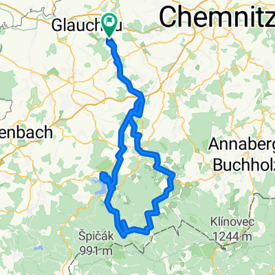
- Saint Egidien, Saxony, Germany
A cycling route starting in Saint Egidien, Saxony, Germany.
Overview
Completed by road bike, but on the return some sections of the Muldentalradweg are not suitable for the same.
Route quality
Road
26.4 km
(19 %)
Quiet road
13.9 km
(10 %)
Paved
101.4 km
(73 %)
Unpaved
13.9 km
(10 %)
Asphalt
101.4 km
(73 %)
Ground
6.9 km
(5 %)
Continue with Bikemap
You would like to ride Radroute zum Auersberg or customize it for your own trip? Here is what you can do with this Bikemap route:
Free trial for 3 days, or one-time payment. More about Bikemap Premium.
Discover more Premium features.
Get Bikemap PremiumFrom our community
Open it in the app