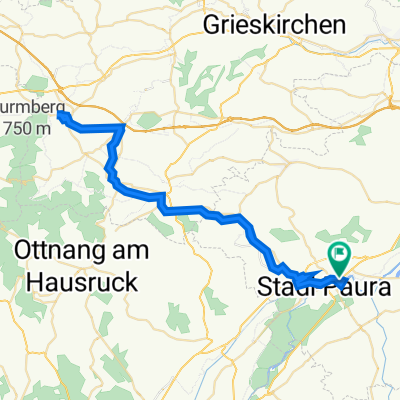

Lambach - Timelkam
- 30.2 km
- 250 m
- 136 m
- Lambach, Upper Austria, Austria
A cycling route starting in Lambach, Upper Austria, Austria.
Overview
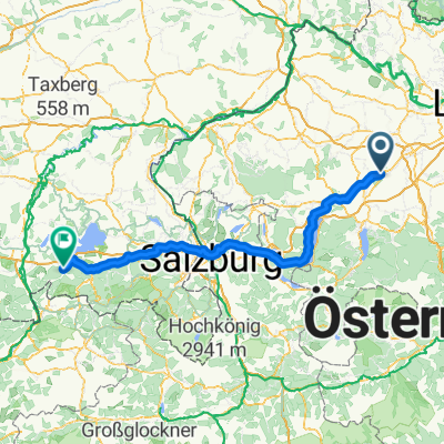
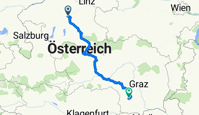
From Lambach via Vorchdorf, Windischgarsten Triebener, Gaberl, Ligist, Stainz to Bad Gams
created this 12 years ago
Route quality
Road
25.7 km
10 %
Quiet road
18 km
7 %
Paved
175 km
(68 %)
Unpaved
2.6 km
(1 %)
Asphalt
172.4 km
67 %
Paved (undefined)
2.6 km
1 %
Continue with Bikemap
You would like to ride Lambach Bad Gams or customize it for your own trip? Here is what you can do with this Bikemap route:
Free trial for 3 days, or one-time payment. More about Bikemap Premium.
Discover more Premium features.
Get Bikemap PremiumFrom our community
Open it in the app