Red Bud 50
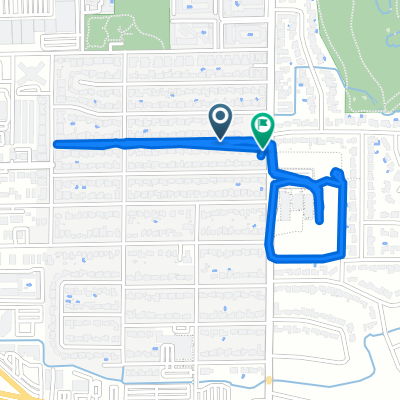
A cycling route starting in Nichols Hills, Oklahoma, United States.
Overview
About this route
Red Bud Classic
OKC, early April Lots of rollers; usually quite windy- -:--
- Duration
- 83.4 km
- Distance
- 200 m
- Ascent
- 200 m
- Descent
- ---
- Avg. speed
- ---
- Max. altitude
Route quality
Waytypes & surfaces along the route
Waytypes
Road
53.2 km
(64 %)
Quiet road
15.9 km
(19 %)
Surfaces
Paved
7.6 km
(9 %)
Asphalt
6 km
(7 %)
Concrete
1.7 km
(2 %)
Undefined
75.8 km
(91 %)
Continue with Bikemap
Use, edit, or download this cycling route
You would like to ride Red Bud 50 or customize it for your own trip? Here is what you can do with this Bikemap route:
Free features
- Save this route as favorite or in collections
- Copy & plan your own version of this route
- Split it into stages to create a multi-day tour
- Sync your route with Garmin or Wahoo
Premium features
Free trial for 3 days, or one-time payment. More about Bikemap Premium.
- Navigate this route on iOS & Android
- Export a GPX / KML file of this route
- Create your custom printout (try it for free)
- Download this route for offline navigation
Discover more Premium features.
Get Bikemap PremiumFrom our community
Other popular routes starting in Nichols Hills
- OUCP Cyco's (Sara & Paige)
- Distance
- 10.7 km
- Ascent
- 51 m
- Descent
- 36 m
- Location
- Nichols Hills, Oklahoma, United States
- Lake Hefner - Stars & Stripes Start
- Distance
- 15.4 km
- Ascent
- 13 m
- Descent
- 15 m
- Location
- Nichols Hills, Oklahoma, United States
- Sat. 7/8/2016
- Distance
- 83.2 km
- Ascent
- 148 m
- Descent
- 152 m
- Location
- Nichols Hills, Oklahoma, United States
- 1132 NW 43rd St, Oklahoma City to 1133 NW 43rd St, Oklahoma City
- Distance
- 48.5 km
- Ascent
- 521 m
- Descent
- 522 m
- Location
- Nichols Hills, Oklahoma, United States
- red bud 45 mile 2020
- Distance
- 73.8 km
- Ascent
- 215 m
- Descent
- 215 m
- Location
- Nichols Hills, Oklahoma, United States
- Crown Heights to Midtown
- Distance
- 5 km
- Ascent
- 24 m
- Descent
- 17 m
- Location
- Nichols Hills, Oklahoma, United States
- OKC Tour 45 CCW
- Distance
- 71.6 km
- Ascent
- 119 m
- Descent
- 120 m
- Location
- Nichols Hills, Oklahoma, United States
- North May Avenue 6200, Oklahoma City to Northwest 51st Street 3528, Oklahoma City
- Distance
- 2.7 km
- Ascent
- 49 m
- Descent
- 31 m
- Location
- Nichols Hills, Oklahoma, United States
Open it in the app