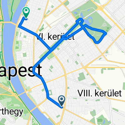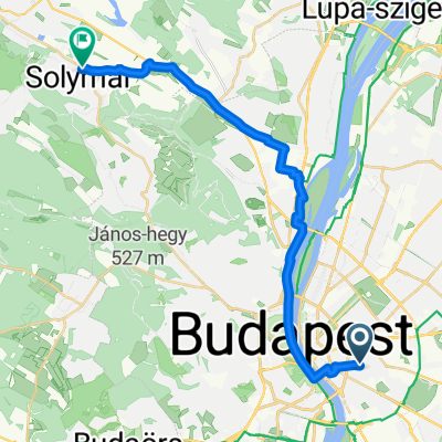
Budapest - Solymár Lidl
- 23.6 km
- 230 m
- 155 m
- Budapest VIII. kerület, Budapest, Hungary
A cycling route starting in Budapest VIII. kerület, Budapest, Hungary.
Overview
Track uploaded with updater tool
created this 11 years ago
Route quality
Quiet road
2.1 km
(84 %)
Road
0.4 km
(15 %)
Undefined
0 km
(1 %)
Paved
2.6 km
(100 %)
Asphalt
2.6 km
(100 %)
Route highlights

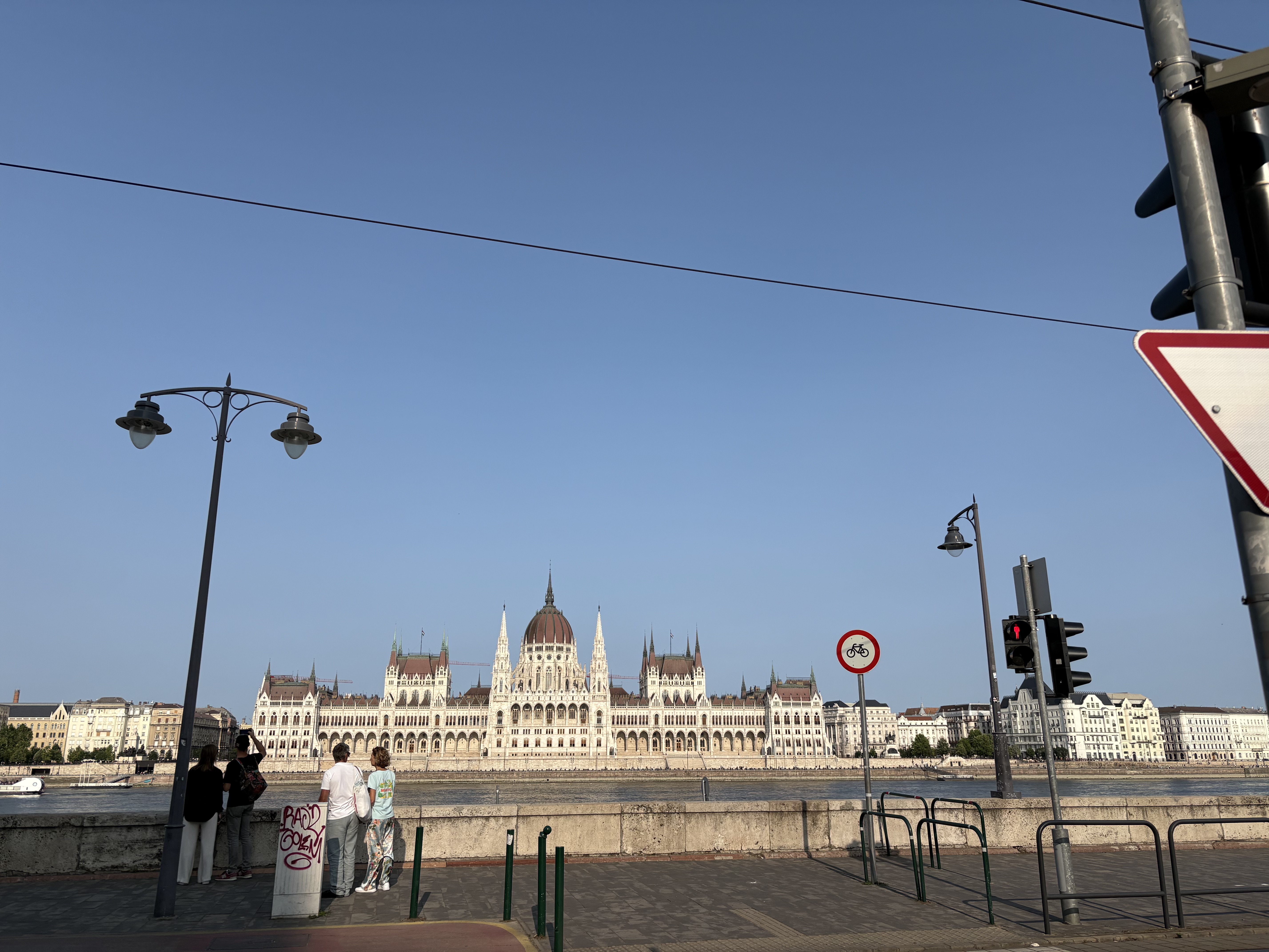
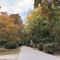
itt#laknak

meg#itt#is
Continue with Bikemap
You would like to ride botfalva23km or customize it for your own trip? Here is what you can do with this Bikemap route:
Free trial for 3 days, or one-time payment. More about Bikemap Premium.
Discover more Premium features.
Get Bikemap PremiumFrom our community
Open it in the app