
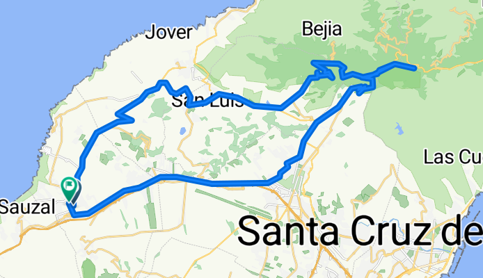
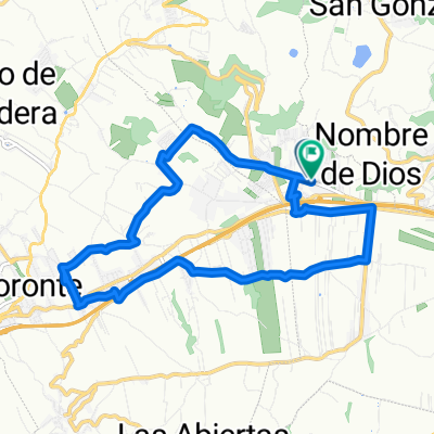
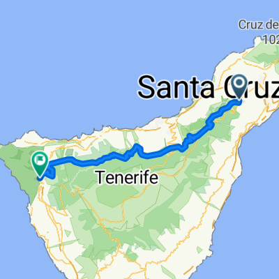
Tejina - Pedro Alvarez - Pico del Inglés
A cycling route starting in Tacoronte, Canary Islands, Spain.
Overview
About this route
Ruta de entrenamiento normal
- -:--
- Duration
- 46.6 km
- Distance
- 948 m
- Ascent
- 962 m
- Descent
- ---
- Avg. speed
- ---
- Max. altitude
Route quality
Waytypes & surfaces along the route
Waytypes
Busy road
34.8 km
(75 %)
Quiet road
6.4 km
(14 %)
Surfaces
Paved
22.8 km
(49 %)
Asphalt
22.8 km
(49 %)
Undefined
23.8 km
(51 %)
Continue with Bikemap
Use, edit, or download this cycling route
You would like to ride Tejina - Pedro Alvarez - Pico del Inglés or customize it for your own trip? Here is what you can do with this Bikemap route:
Free features
- Save this route as favorite or in collections
- Copy & plan your own version of this route
- Sync your route with Garmin or Wahoo
Premium features
Free trial for 3 days, or one-time payment. More about Bikemap Premium.
- Navigate this route on iOS & Android
- Export a GPX / KML file of this route
- Create your custom printout (try it for free)
- Download this route for offline navigation
Discover more Premium features.
Get Bikemap PremiumFrom our community
Other popular routes starting in Tacoronte
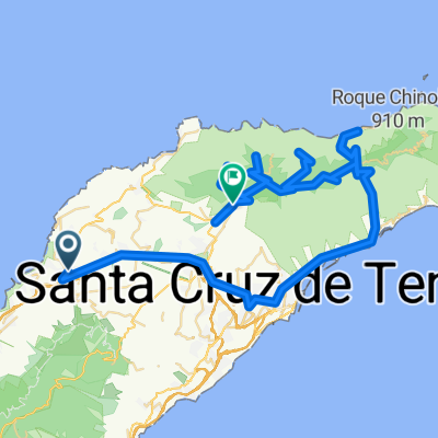 Santa Cruz - Taganana - Afur - Las Carboneras - Batanes
- Distance
- 112.2 km
- Ascent
- 2,988 m
- Descent
- 2,795 m
- Location
- Tacoronte, Canary Islands, Spain
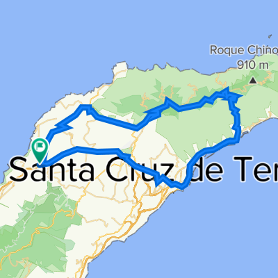 San Cristobal de la Laguna
- Distance
- 78.7 km
- Ascent
- 3,275 m
- Descent
- 3,274 m
- Location
- Tacoronte, Canary Islands, Spain
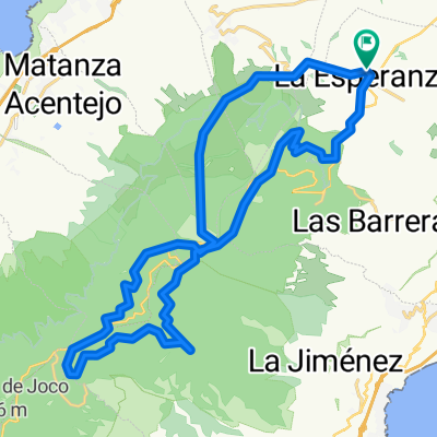
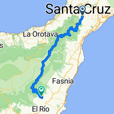 LA ESPERANZA A ARICO
- Distance
- 64.1 km
- Ascent
- 1,527 m
- Descent
- 1,630 m
- Location
- Tacoronte, Canary Islands, Spain
 Caminata Santiago
- Distance
- 13.7 km
- Ascent
- 171 m
- Descent
- 173 m
- Location
- Tacoronte, Canary Islands, Spain
 20 .12
- Distance
- 34.3 km
- Ascent
- 1,123 m
- Descent
- 1,133 m
- Location
- Tacoronte, Canary Islands, Spain
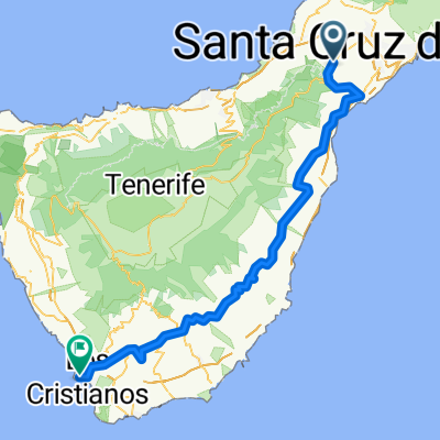 La Esperanza - Playa de Las Americas
- Distance
- 101.4 km
- Ascent
- 1,065 m
- Descent
- 1,951 m
- Location
- Tacoronte, Canary Islands, Spain
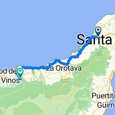 Tacoronte - La Gotera
- Distance
- 41.2 km
- Ascent
- 1,013 m
- Descent
- 881 m
- Location
- Tacoronte, Canary Islands, Spain
 CAMINO DE SANTIAGO
- Distance
- 70.3 km
- Ascent
- 1,503 m
- Descent
- 1,485 m
- Location
- Tacoronte, Canary Islands, Spain
Open it in the app