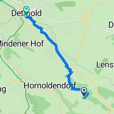
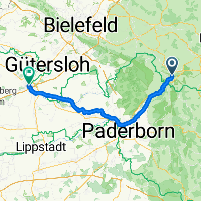
Hermanstour
A cycling route starting in Horn-Bad Meinberg, North Rhine-Westphalia, Germany.
Overview
About this route
Tour im Teutoburger Wald, vorbei an der Silbermühle, Hermansdenkmal und den Externsteinen
- -:--
- Duration
- 46.9 km
- Distance
- 755 m
- Ascent
- 755 m
- Descent
- ---
- Avg. speed
- ---
- Avg. speed
Route quality
Waytypes & surfaces along the route
Waytypes
Track
30.9 km
(66 %)
Quiet road
11.2 km
(24 %)
Surfaces
Paved
20 km
(43 %)
Unpaved
26.2 km
(56 %)
Gravel
22.4 km
(48 %)
Asphalt
19.2 km
(41 %)
Continue with Bikemap
Use, edit, or download this cycling route
You would like to ride Hermanstour or customize it for your own trip? Here is what you can do with this Bikemap route:
Free features
- Save this route as favorite or in collections
- Copy & plan your own version of this route
- Sync your route with Garmin or Wahoo
Premium features
Free trial for 3 days, or one-time payment. More about Bikemap Premium.
- Navigate this route on iOS & Android
- Export a GPX / KML file of this route
- Create your custom printout (try it for free)
- Download this route for offline navigation
Discover more Premium features.
Get Bikemap PremiumFrom our community
Other popular routes starting in Horn-Bad Meinberg
- heute
- Distance
- 60.9 km
- Ascent
- 410 m
- Descent
- 410 m
- Location
- Horn-Bad Meinberg, North Rhine-Westphalia, Germany
- Horn-Bad Meinberg nach Cheruskerstraße 25, Altenbeken
- Distance
- 44.3 km
- Ascent
- 465 m
- Descent
- 441 m
- Location
- Horn-Bad Meinberg, North Rhine-Westphalia, Germany
- Haustenbecker Straße 4B, Horn-Bad Meinberg nach Haustenbecker Straße 4B, Horn-Bad Meinberg
- Distance
- 31.4 km
- Ascent
- 89 m
- Descent
- 103 m
- Location
- Horn-Bad Meinberg, North Rhine-Westphalia, Germany
- Adlerwarte
- Distance
- 10.5 km
- Ascent
- 191 m
- Descent
- 166 m
- Location
- Horn-Bad Meinberg, North Rhine-Westphalia, Germany
- schiedersee
- Distance
- 52.9 km
- Ascent
- 457 m
- Descent
- 457 m
- Location
- Horn-Bad Meinberg, North Rhine-Westphalia, Germany
- Hermanstour
- Distance
- 46.9 km
- Ascent
- 755 m
- Descent
- 755 m
- Location
- Horn-Bad Meinberg, North Rhine-Westphalia, Germany
- Hermannsdenkmal
- Distance
- 14.8 km
- Ascent
- 449 m
- Descent
- 274 m
- Location
- Horn-Bad Meinberg, North Rhine-Westphalia, Germany
- Horn - Höxter
- Distance
- 44.1 km
- Ascent
- 193 m
- Descent
- 309 m
- Location
- Horn-Bad Meinberg, North Rhine-Westphalia, Germany
Open it in the app