BAHIA BLANCA: ALTOS DEL ÑATO
A cycling route starting in Bahía Blanca, Buenos Aires, Argentina.
Overview
About this route
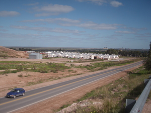
MTB training circuit, dirt, stones, hills, descents—start at Lainez 3100, take ascending Indiada, a beautiful climb right away, continue and turn on Jorge Newbery (parallel to the highway) to the roundabout in the Patagonia neighborhood, then return to the starting point... total 13 km. To be ridden over and over.
- -:--
- Duration
- 12.7 km
- Distance
- 72 m
- Ascent
- 72 m
- Descent
- ---
- Avg. speed
- ---
- Max. altitude
Route quality
Waytypes & surfaces along the route
Waytypes
Quiet road
12.5 km
(99 %)
Undefined
0.1 km
(1 %)
Surfaces
Paved
4.2 km
(33 %)
Unpaved
7.1 km
(56 %)
Gravel
7.1 km
(56 %)
Asphalt
4.2 km
(33 %)
Undefined
1.4 km
(11 %)
Route highlights
Points of interest along the route

Point of interest after 0 km
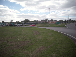
SALIDA Y LLEGADA:: LAINEZ e INDIADA--- CIRCUITO DE ENTRENAMIENTO

Point of interest after 1 km
LOMA DEL ÑATO-- vista de Av. Rosas
Continue with Bikemap
Use, edit, or download this cycling route
You would like to ride BAHIA BLANCA: ALTOS DEL ÑATO or customize it for your own trip? Here is what you can do with this Bikemap route:
Free features
- Save this route as favorite or in collections
- Copy & plan your own version of this route
- Sync your route with Garmin or Wahoo
Premium features
Free trial for 3 days, or one-time payment. More about Bikemap Premium.
- Navigate this route on iOS & Android
- Export a GPX / KML file of this route
- Create your custom printout (try it for free)
- Download this route for offline navigation
Discover more Premium features.
Get Bikemap PremiumFrom our community
Other popular routes starting in Bahía Blanca
 Vuelta Nueva Roma
- Distance
- 92.9 km
- Ascent
- 102 m
- Descent
- 92 m
- Location
- Bahía Blanca, Buenos Aires, Argentina
 VUELTA DE CANESSA X GRUMBEIN
- Distance
- 61.6 km
- Ascent
- 144 m
- Descent
- 135 m
- Location
- Bahía Blanca, Buenos Aires, Argentina
 Bahía - Pehuen-Co
- Distance
- 88.5 km
- Ascent
- 125 m
- Descent
- 142 m
- Location
- Bahía Blanca, Buenos Aires, Argentina
 Bahía Blanca - Argerich
- Distance
- 39.6 km
- Ascent
- 38 m
- Descent
- 58 m
- Location
- Bahía Blanca, Buenos Aires, Argentina
 Vuelta a la Vitícola
- Distance
- 80.3 km
- Ascent
- 175 m
- Descent
- 176 m
- Location
- Bahía Blanca, Buenos Aires, Argentina
 Ría por el salitral
- Distance
- 100.1 km
- Ascent
- 161 m
- Descent
- 166 m
- Location
- Bahía Blanca, Buenos Aires, Argentina
 del CAÑON a SIERRA DE LA VENTANA
- Distance
- 88.4 km
- Ascent
- 405 m
- Descent
- 190 m
- Location
- Bahía Blanca, Buenos Aires, Argentina
 Bahía blanca - pehuen co
- Distance
- 82.1 km
- Ascent
- 466 m
- Descent
- 481 m
- Location
- Bahía Blanca, Buenos Aires, Argentina
Open it in the app


