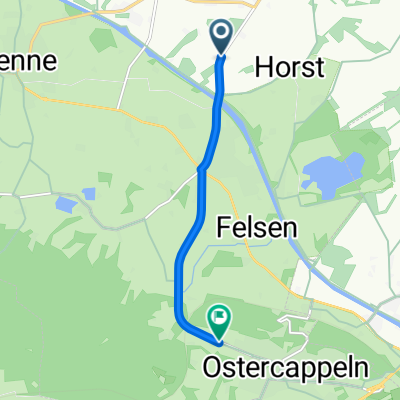
Von Kalkriese nach Bad Essen
- 19.9 km
- 25 m
- 23 m
- Ostercappeln, Lower Saxony, Germany
A cycling route starting in Ostercappeln, Lower Saxony, Germany.
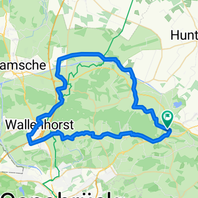
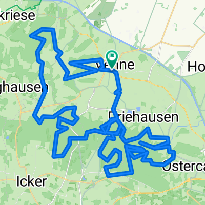
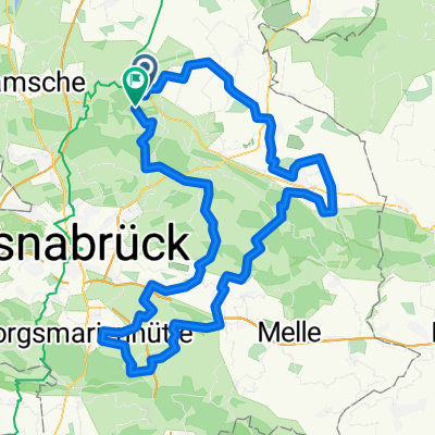
Overview
Das Dümmerfeuchtgebiet ist sehr sehenswert - auf Damme zu leicht hügelig - der Campmoorweg geht durch echte Moorgebiet, man sieht eine kleine Moorbahn und den Abbau auf den Moorwiesen.
created this 12 years ago
Route quality
Quiet road
25 km
49 %
Track
7.2 km
14 %
Paved
35.8 km
(70 %)
Unpaved
5.1 km
(10 %)
Asphalt
33.7 km
66 %
Gravel
4.1 km
8 %
Continue with Bikemap
You would like to ride CE140311 or customize it for your own trip? Here is what you can do with this Bikemap route:
Free trial for 3 days, or one-time payment. More about Bikemap Premium.
Discover more Premium features.
Get Bikemap PremiumFrom our community
Open it in the app