

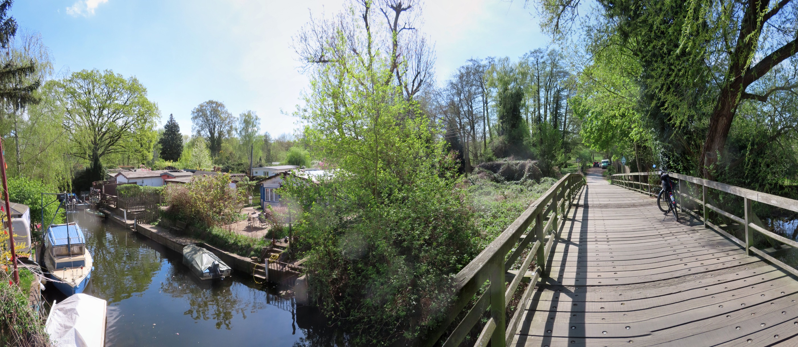
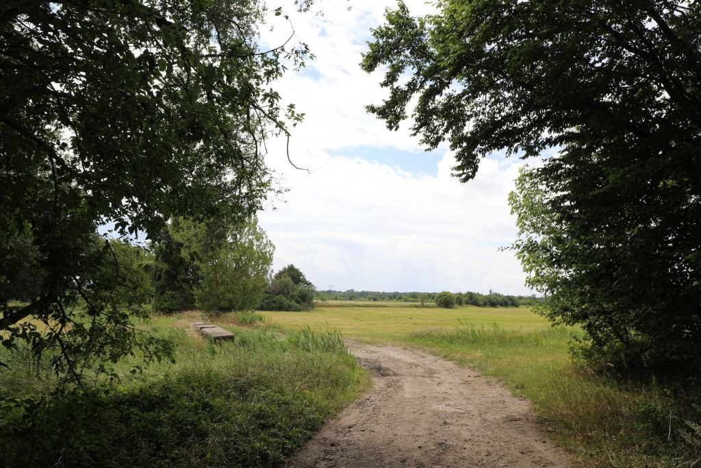
Schwielowseerunde Havel
A cycling route starting in Staaken, State of Berlin, Germany.
Overview
About this route
Dallgow- b5 Center-GG Potsdam - Schwielowsee Caputh-Havelchaussee
- -:--
- Duration
- 93.4 km
- Distance
- 390 m
- Ascent
- 378 m
- Descent
- ---
- Avg. speed
- 95 m
- Max. altitude
Route quality
Waytypes & surfaces along the route
Waytypes
Road
37.4 km
(40 %)
Path
16.8 km
(18 %)
Surfaces
Paved
83.2 km
(89 %)
Unpaved
0.9 km
(1 %)
Asphalt
78.5 km
(84 %)
Concrete
4.7 km
(5 %)
Continue with Bikemap
Use, edit, or download this cycling route
You would like to ride Schwielowseerunde Havel or customize it for your own trip? Here is what you can do with this Bikemap route:
Free features
- Save this route as favorite or in collections
- Copy & plan your own version of this route
- Split it into stages to create a multi-day tour
- Sync your route with Garmin or Wahoo
Premium features
Free trial for 3 days, or one-time payment. More about Bikemap Premium.
- Navigate this route on iOS & Android
- Export a GPX / KML file of this route
- Create your custom printout (try it for free)
- Download this route for offline navigation
Discover more Premium features.
Get Bikemap PremiumFrom our community
Other popular routes starting in Staaken
 Schwielowseerunde Havel
- Distance
- 93.4 km
- Ascent
- 390 m
- Descent
- 378 m
- Location
- Staaken, State of Berlin, Germany
 Heiki und Peffi Jungfernfahrt
- Distance
- 6.1 km
- Ascent
- 14 m
- Descent
- 16 m
- Location
- Staaken, State of Berlin, Germany
 Staaken-Treff - Bullengraben - Tiefwerder Wiesen - Murellenschlucht - Rhlebener Wiesen - Staakentreff
- Distance
- 18.4 km
- Ascent
- 78 m
- Descent
- 79 m
- Location
- Staaken, State of Berlin, Germany
 Breddiner Weg 7A, Berlin nach Breddiner Weg 7A, Berlin
- Distance
- 24.1 km
- Ascent
- 98 m
- Descent
- 88 m
- Location
- Staaken, State of Berlin, Germany
 Falkensee-Berlin-Potsdam
- Distance
- 47 km
- Ascent
- 242 m
- Descent
- 241 m
- Location
- Staaken, State of Berlin, Germany
 Erste Runde zum Einfahren
- Distance
- 17.2 km
- Ascent
- 42 m
- Descent
- 42 m
- Location
- Staaken, State of Berlin, Germany
 Priort - Dyrotz - Dallgow - Staaken
- Distance
- 26.4 km
- Ascent
- 14 m
- Descent
- 17 m
- Location
- Staaken, State of Berlin, Germany
 Döberitzer Heide
- Distance
- 11.8 km
- Ascent
- 50 m
- Descent
- 18 m
- Location
- Staaken, State of Berlin, Germany
Open it in the app