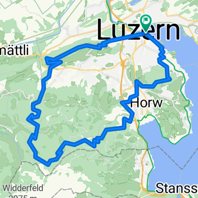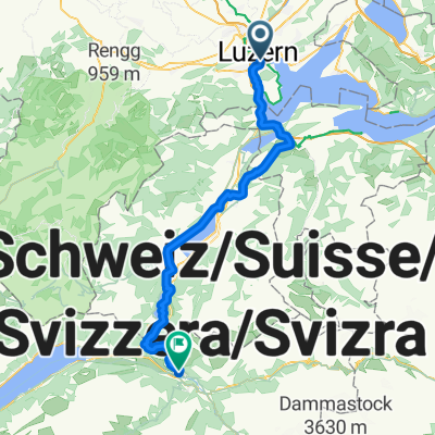
Route in Luzern
- 93.4 km
- 1,444 m
- 1,412 m
- Lucerne, Canton of Lucerne, Switzerland
A cycling route starting in Lucerne, Canton of Lucerne, Switzerland.
Overview
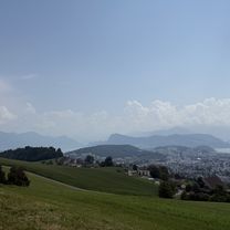
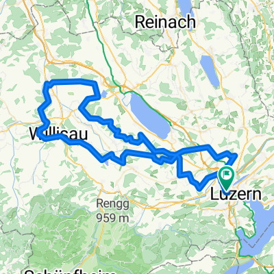
Warm-up and after-work route
created this 11 years ago
Route quality
Road
3.5 km
(10 %)
Quiet road
2.1 km
(6 %)
Paved
21.3 km
(61 %)
Asphalt
20.3 km
(58 %)
Paved (undefined)
0.7 km
(2 %)
Continue with Bikemap
You would like to ride Rotkreuz-Meierskappel-Küssnacht-Udligenswil-Adligenswil or customize it for your own trip? Here is what you can do with this Bikemap route:
Free trial for 3 days, or one-time payment. More about Bikemap Premium.
Discover more Premium features.
Get Bikemap PremiumFrom our community
Open it in the app