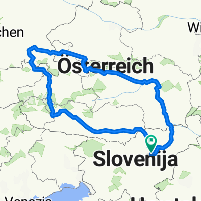
PO DOLENJSKEM
- 356.6 km
- 2,290 m
- 2,290 m
- Žalec, Občina Žalec, Slovenia
A cycling route starting in Žalec, Občina Žalec, Slovenia.
Overview
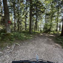
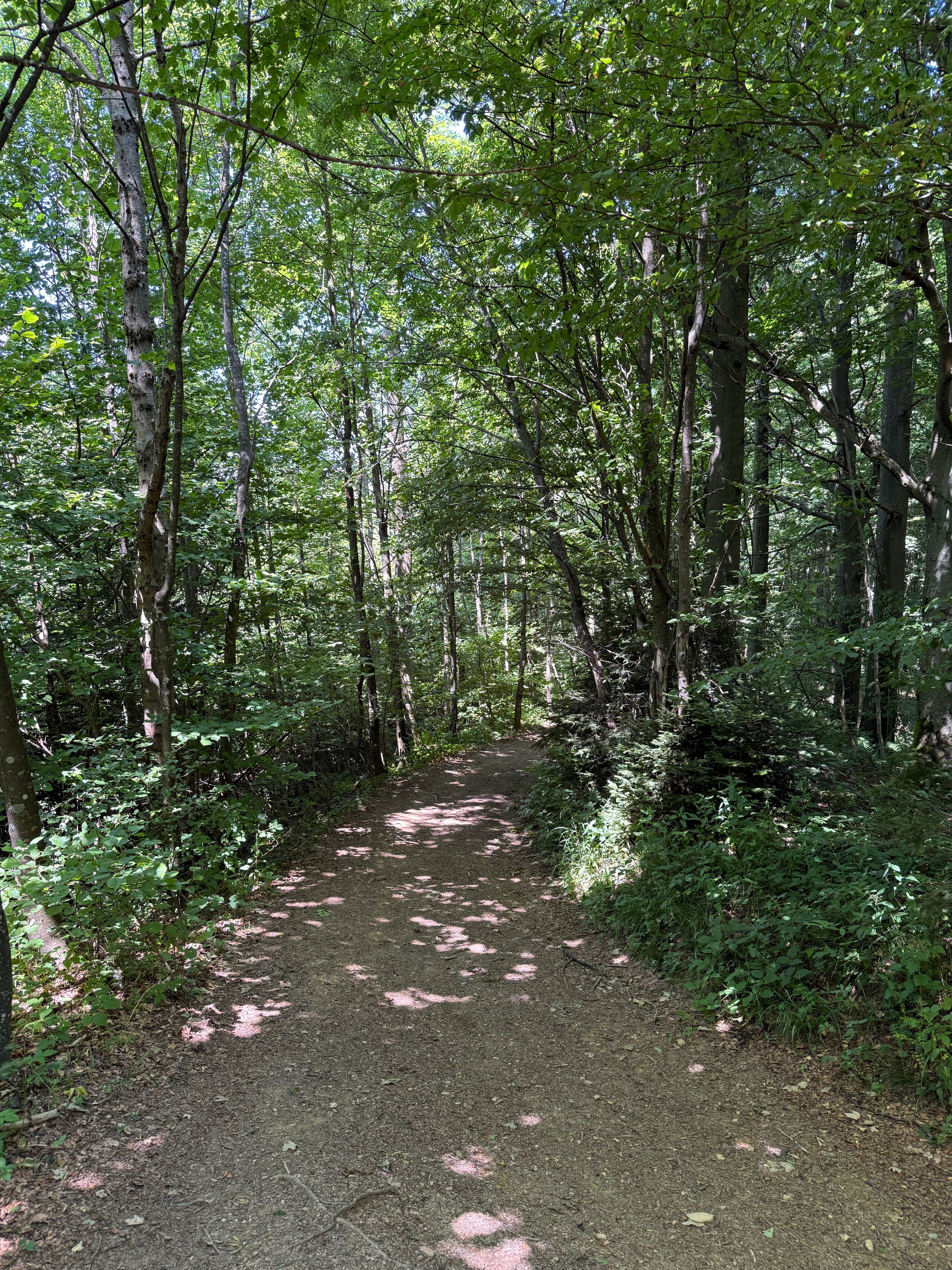
HILLY TRAIL, PARTLY ALONG THE KOLPA AND THROUGH THE LAND OF THE BEARS
created this 11 years ago
Route quality
Road
178.3 km
(50 %)
Quiet road
32.1 km
(9 %)
Undefined
146.2 km
(41 %)
Paved
260.3 km
(73 %)
Asphalt
249.6 km
(70 %)
Paved (undefined)
10.7 km
(3 %)
Undefined
96.3 km
(27 %)
Route highlights
GPS: 45,838081°N 15,238384°E Kamp Otočec Grajska cesta 2 8222 Otočec +386 (0)40 466 589
Kamp Podzemelj ob Kolpi, Bela krajina Škrilje 11, Gradac, Slovenija kamp-podzemelj.si (07) 306 95 72
Kamp Kolpa Vinica 19, Vinica, Slovenija kamp-kolpa.si
Kamp Žaga Sebastjan Samsa s.p. Gorenja Žaga 1a, Kostel, Slovenija (01) 894 22 91
Grad Kostel Kostel, Slovenija
PRI JANEZOVEM ZNANCU MOTORISTU NA TRAVNIKU LOJZE STERLE
TU SVA PRESPALA
Continue with Bikemap
You would like to ride PO DOLENJSKEM or customize it for your own trip? Here is what you can do with this Bikemap route:
Free trial for 3 days, or one-time payment. More about Bikemap Premium.
Discover more Premium features.
Get Bikemap PremiumFrom our community
Open it in the app