

12-La Réole - Bordeaux
- 79.2 km
- 685 m
- 698 m
- La Réole, Nouvelle-Aquitaine, France
A cycling route starting in La Réole, Nouvelle-Aquitaine, France.
Overview
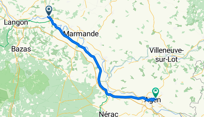
Canal Etapa 2
La Reole - Agencreated this 12 years ago
Route quality
Cycleway
54.1 km
65 %
Quiet road
15.8 km
19 %
Paved
72.5 km
(87 %)
Asphalt
37.5 km
45 %
Paved (undefined)
33.3 km
40 %
Continue with Bikemap
You would like to ride Canal_Etapa2 or customize it for your own trip? Here is what you can do with this Bikemap route:
Free trial for 3 days, or one-time payment. More about Bikemap Premium.
Discover more Premium features.
Get Bikemap PremiumFrom our community
Open it in the app


