
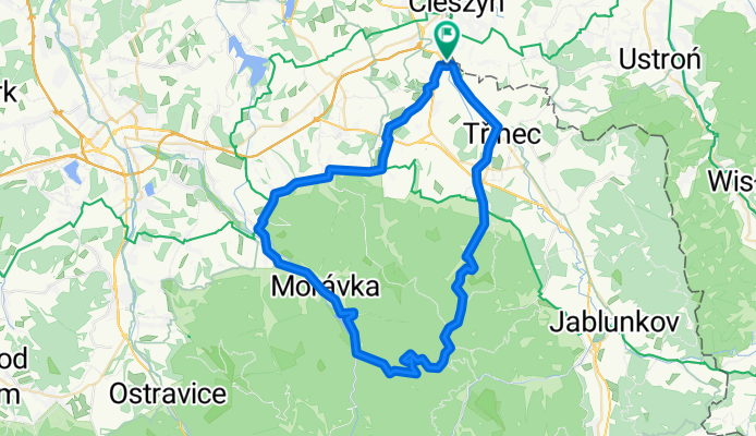
Kałużny Wierch & Slawicz
A cycling route starting in Puńców, Silesian Voivodeship, Poland.
Overview
About this route
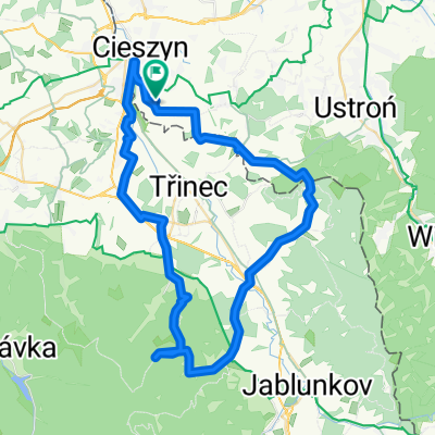
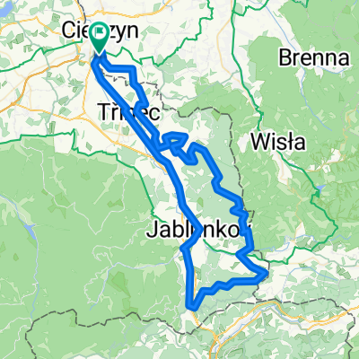
Z Czeskiego Cieszyna do Tyry , stromym żółtym szlakiem a dalej szutrówką na przełęcz pod Ostrym. Stamtąd grzbietem przez Kałużny Wierch na Slawicz . Zjazd do doliny Nytrowej i Morawki. Powrót przez Prażmo, Ligotkę Kameralną, Smilowice i Ropice
- -:--
- Duration
- 61.4 km
- Distance
- 825 m
- Ascent
- 825 m
- Descent
- ---
- Avg. speed
- ---
- Avg. speed

Route quality
Waytypes & surfaces along the route
Waytypes
Track
22.2 km
(36 %)
Road
13.7 km
(22 %)
Surfaces
Paved
28.9 km
(47 %)
Unpaved
9.7 km
(16 %)
Asphalt
26.5 km
(43 %)
Gravel
6.3 km
(10 %)
Route highlights
Points of interest along the route
Point of interest after 48.5 km
sklep spoż.
Continue with Bikemap
Use, edit, or download this cycling route
You would like to ride Kałużny Wierch & Slawicz or customize it for your own trip? Here is what you can do with this Bikemap route:
Free features
- Save this route as favorite or in collections
- Copy & plan your own version of this route
- Sync your route with Garmin or Wahoo
Premium features
Free trial for 3 days, or one-time payment. More about Bikemap Premium.
- Navigate this route on iOS & Android
- Export a GPX / KML file of this route
- Create your custom printout (try it for free)
- Download this route for offline navigation
Discover more Premium features.
Get Bikemap PremiumFrom our community
Other popular routes starting in Puńców
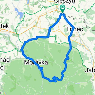 Kałużny Wierch & Slawicz
- Distance
- 61.4 km
- Ascent
- 825 m
- Descent
- 825 m
- Location
- Puńców, Silesian Voivodeship, Poland
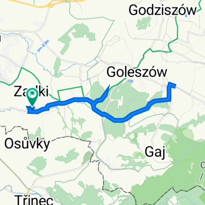 Beskidzka 5, Puńców do Beskidzka 5, Puńców
- Distance
- 20.2 km
- Ascent
- 358 m
- Descent
- 357 m
- Location
- Puńców, Silesian Voivodeship, Poland
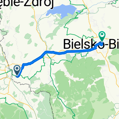 Cieszyn-Bielsko
- Distance
- 37 km
- Ascent
- 352 m
- Descent
- 367 m
- Location
- Puńców, Silesian Voivodeship, Poland
 cieszyn-ostry-nydek-budzin-cieszyn
- Distance
- 57.4 km
- Ascent
- 1,091 m
- Descent
- 1,091 m
- Location
- Puńców, Silesian Voivodeship, Poland
 saa asaa
- Distance
- 9.2 km
- Ascent
- 161 m
- Descent
- 167 m
- Location
- Puńców, Silesian Voivodeship, Poland
 Ropice 1082,5
- Distance
- 60.4 km
- Ascent
- 940 m
- Descent
- 940 m
- Location
- Puńców, Silesian Voivodeship, Poland
 Javorovy
- Distance
- 35.3 km
- Ascent
- 673 m
- Descent
- 672 m
- Location
- Puńców, Silesian Voivodeship, Poland
 Filipka, Bahenec, Girova
- Distance
- 86.3 km
- Ascent
- 1,212 m
- Descent
- 1,212 m
- Location
- Puńców, Silesian Voivodeship, Poland
Open it in the app