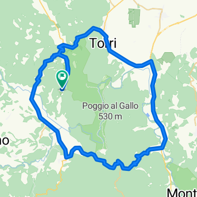


pentolina monteriggioni
- 68.2 km
- 580 m
- 585 m
- Monticiano, Tuscany, Italy
A cycling route starting in Monticiano, Tuscany, Italy.
Overview
created this 11 years ago
Route quality
Road
11.3 km
(36 %)
Track
8.4 km
(27 %)
Paved
11.9 km
(38 %)
Unpaved
15.9 km
(51 %)
Unpaved (undefined)
15.3 km
(49 %)
Asphalt
11.9 km
(38 %)
Continue with Bikemap
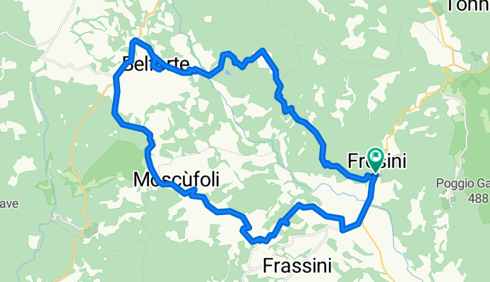
You would like to ride Frosini - Cornocchia - Belforte - Montalcinello or customize it for your own trip? Here is what you can do with this Bikemap route:
Free trial for 3 days, or one-time payment. More about Bikemap Premium.
Discover more Premium features.
Get Bikemap PremiumFrom our community
Open it in the app