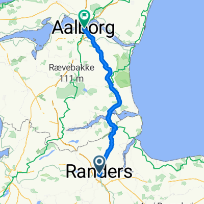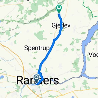
Route nach Kondrupvej 1A
- 22.3 km
- 162 m
- 141 m
- Randers, Central Jutland, Denmark
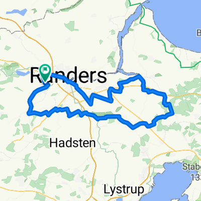
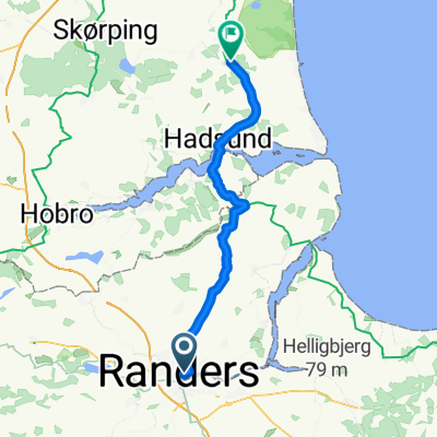
A cycling route starting in Randers, Central Jutland, Denmark.
Overview
Sunday bike ride along the fjord
created this 11 years ago
Continue with Bikemap
You would like to ride Randershpvsøndag or customize it for your own trip? Here is what you can do with this Bikemap route:
Free trial for 3 days, or one-time payment. More about Bikemap Premium.
Discover more Premium features.
Get Bikemap PremiumFrom our community
Open it in the app