Hohenzollern Radweg
- 316.7 km
- 2,427 m
- 2,270 m
- Weinstadt-Endersbach, Baden-Wurttemberg, Germany
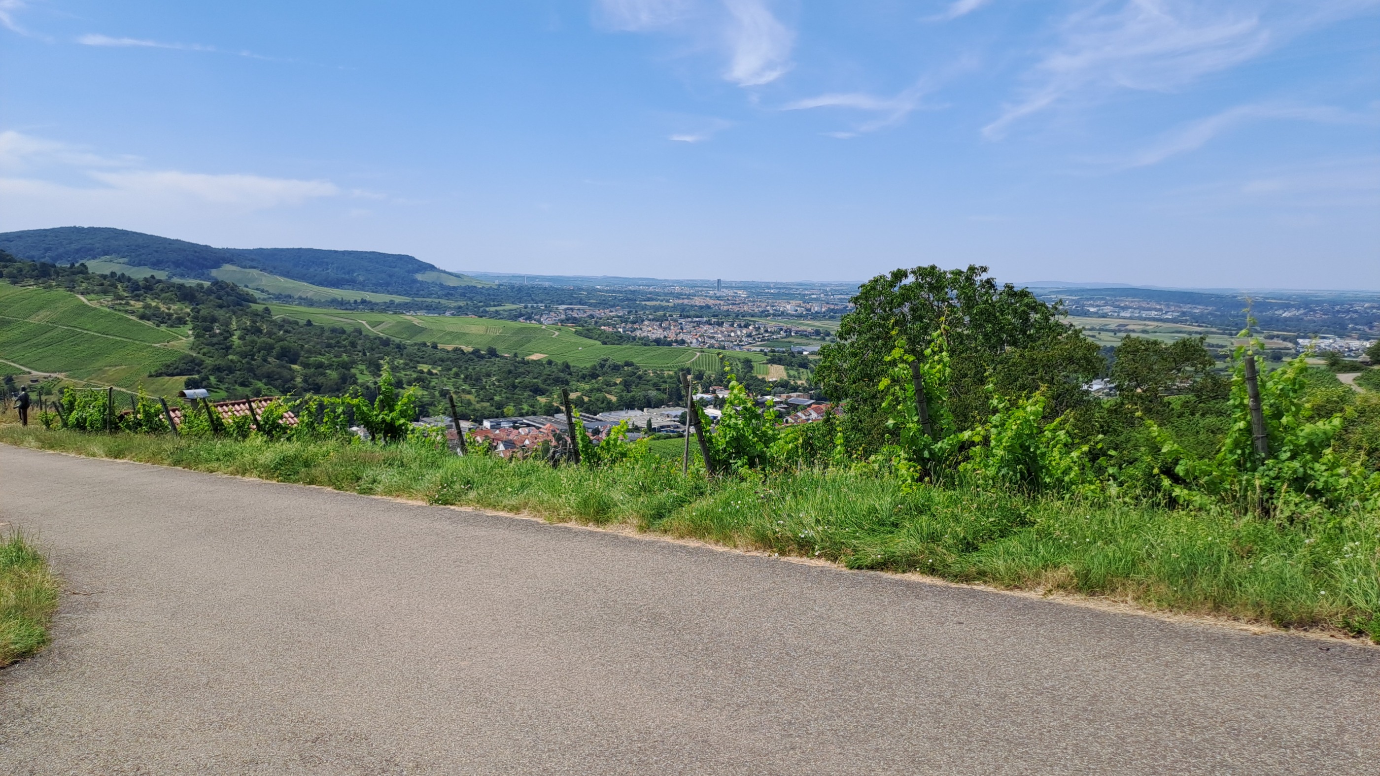
The route begins in Grunbach and extends from the Remstal over forest paths to the height of the Schurwald (in Baltmannsweiler, a view over the Remstal is a reward), there it also continues on mostly flat forest paths over the height of the Schurwald until Schanbach. From there, the short but rapid descent to Weinstadt-Strümpfelbach begins. From then on, it goes on asphalted vineyard paths back through Beutelsbach to Remshalden.
Free trial for 3 days, or one-time payment. More about Bikemap Premium.
Discover more Premium features.
Get Bikemap PremiumOpen it in the app