

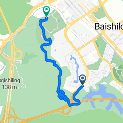
LongHua to ZhuHai via HuMen ferry
A cycling route starting in Minzhi, Guangdong, China.
Overview
About this route
This route goes partially along highways and tunnels which are better aboided
- -:--
- Duration
- 164.1 km
- Distance
- 383 m
- Ascent
- 441 m
- Descent
- ---
- Avg. speed
- ---
- Max. altitude
Continue with Bikemap
Use, edit, or download this cycling route
You would like to ride LongHua to ZhuHai via HuMen ferry or customize it for your own trip? Here is what you can do with this Bikemap route:
Free features
- Save this route as favorite or in collections
- Copy & plan your own version of this route
- Split it into stages to create a multi-day tour
- Sync your route with Garmin or Wahoo
Premium features
Free trial for 3 days, or one-time payment. More about Bikemap Premium.
- Navigate this route on iOS & Android
- Export a GPX / KML file of this route
- Create your custom printout (try it for free)
- Download this route for offline navigation
Discover more Premium features.
Get Bikemap PremiumFrom our community
Other popular routes starting in Minzhi
 No.903 Bulong Road, Shenzhen to Deyi Road and Minshun Road Intersection Northwest 150 Meters, Shenzhen
- Distance
- 4.3 km
- Ascent
- 300 m
- Descent
- 303 m
- Location
- Minzhi, Guangdong, China
 龙华环城绿道·人才绿道(民治—民治)
- Distance
- 3.9 km
- Ascent
- 261 m
- Descent
- 257 m
- Location
- Minzhi, Guangdong, China
 广东绿道2号线-南山段(骑行)
- Distance
- 18.1 km
- Ascent
- 164 m
- Descent
- 174 m
- Location
- Minzhi, Guangdong, China
 前往民治大道, 深圳市
- Distance
- 32 km
- Ascent
- 329 m
- Descent
- 419 m
- Location
- Minzhi, Guangdong, China
 LongHua to ZhuHai via HuMen ferry
- Distance
- 164.1 km
- Ascent
- 383 m
- Descent
- 441 m
- Location
- Minzhi, Guangdong, China
 test20
- Distance
- 97.9 km
- Ascent
- 515 m
- Descent
- 494 m
- Location
- Minzhi, Guangdong, China
 Dameisha
- Distance
- 66.9 km
- Ascent
- 1,071 m
- Descent
- 1,095 m
- Location
- Minzhi, Guangdong, China
 1day tour
- Distance
- 78.5 km
- Ascent
- 812 m
- Descent
- 904 m
- Location
- Minzhi, Guangdong, China
Open it in the app