
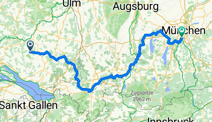
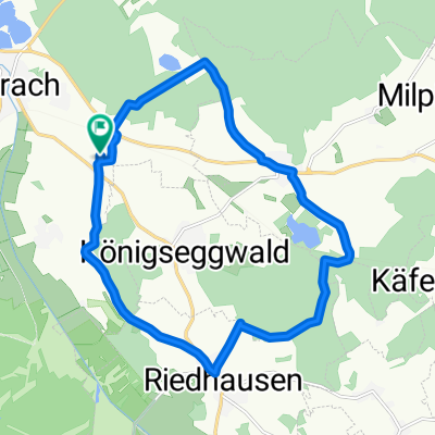
Streckenerkundung für die Fahrt zum Bodenseetreffen Frühjahr 2014
A cycling route starting in Königseggwald, Baden-Wurttemberg, Germany.
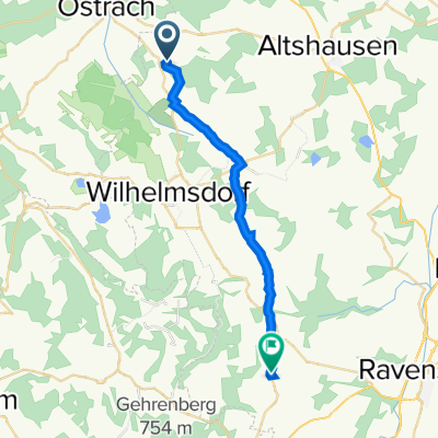
Overview
About this route
The route is quite tough. Needs some optimization.
E.g. Sulzberg instead of Rotachsee Bypass Marktoberdorf- -:--
- Duration
- 274.2 km
- Distance
- 950 m
- Ascent
- 1,022 m
- Descent
- ---
- Avg. speed
- ---
- Max. altitude
Route quality
Waytypes & surfaces along the route
Waytypes
Road
87.8 km
(32 %)
Quiet road
63.1 km
(23 %)
Surfaces
Paved
222.1 km
(81 %)
Unpaved
8.2 km
(3 %)
Asphalt
219.4 km
(80 %)
Paved (undefined)
2.7 km
(1 %)
Continue with Bikemap
Use, edit, or download this cycling route
You would like to ride Streckenerkundung für die Fahrt zum Bodenseetreffen Frühjahr 2014 or customize it for your own trip? Here is what you can do with this Bikemap route:
Free features
- Save this route as favorite or in collections
- Copy & plan your own version of this route
- Split it into stages to create a multi-day tour
- Sync your route with Garmin or Wahoo
Premium features
Free trial for 3 days, or one-time payment. More about Bikemap Premium.
- Navigate this route on iOS & Android
- Export a GPX / KML file of this route
- Create your custom printout (try it for free)
- Download this route for offline navigation
Discover more Premium features.
Get Bikemap PremiumFrom our community
Other popular routes starting in Königseggwald
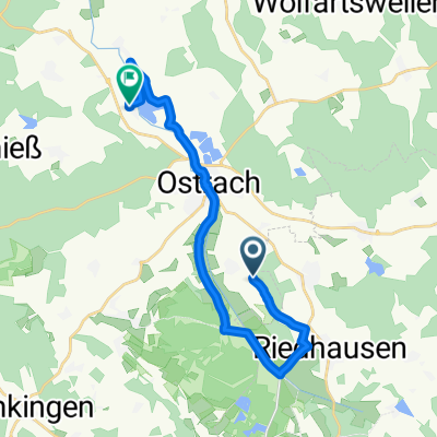
 Einfache Fahrt in Ostrach
- Distance
- 5.4 km
- Ascent
- 0 m
- Descent
- 0 m
- Location
- Königseggwald, Baden-Wurttemberg, Germany
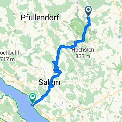 Lange Ausfahrt von Königseggwald nach Uhldingen-Mühlhofen
- Distance
- 39.6 km
- Ascent
- 203 m
- Descent
- 461 m
- Location
- Königseggwald, Baden-Wurttemberg, Germany
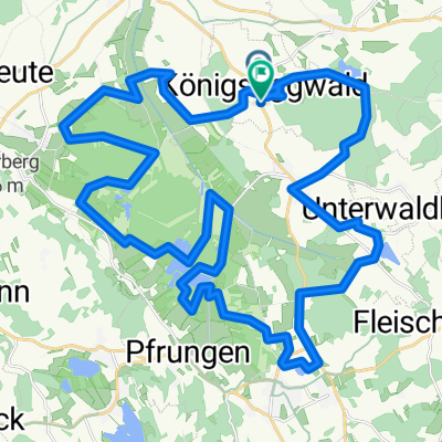
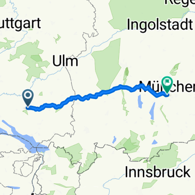 Nach München Nordroute
- Distance
- 199.3 km
- Ascent
- 476 m
- Descent
- 580 m
- Location
- Königseggwald, Baden-Wurttemberg, Germany
 Königseggwald
- Distance
- 16.1 km
- Ascent
- 176 m
- Descent
- 177 m
- Location
- Königseggwald, Baden-Wurttemberg, Germany
 Seestraße, Königseggwald nach Hauptstraße, Königseggwald
- Distance
- 42.4 km
- Ascent
- 309 m
- Descent
- 301 m
- Location
- Königseggwald, Baden-Wurttemberg, Germany
 Muttertag
- Distance
- 17.8 km
- Ascent
- 54 m
- Descent
- 103 m
- Location
- Königseggwald, Baden-Wurttemberg, Germany
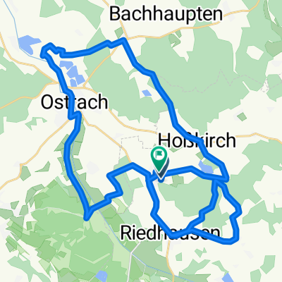 Feierabendrunde Riedweg
- Distance
- 39.9 km
- Ascent
- 342 m
- Descent
- 342 m
- Location
- Königseggwald, Baden-Wurttemberg, Germany
 47.927° N 9.425° W nach 47.780° N 9.499° W
- Distance
- 20.2 km
- Ascent
- 167 m
- Descent
- 243 m
- Location
- Königseggwald, Baden-Wurttemberg, Germany
Open it in the app