

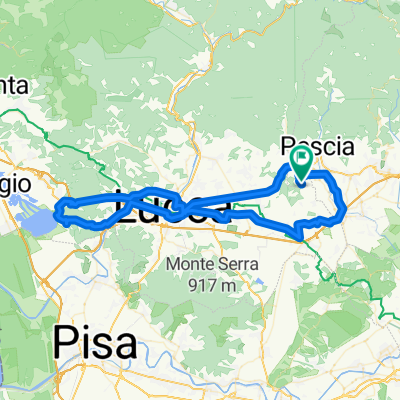
montecarlo
A cycling route starting in Montecarlo, Tuscany, Italy.
Overview
About this route
From Montecarlo Zona Ovest uphill until descending to the football field.
- -:--
- Duration
- 6.9 km
- Distance
- 192 m
- Ascent
- 255 m
- Descent
- ---
- Avg. speed
- ---
- Max. altitude

Continue with Bikemap
Use, edit, or download this cycling route
You would like to ride montecarlo or customize it for your own trip? Here is what you can do with this Bikemap route:
Free features
- Save this route as favorite or in collections
- Copy & plan your own version of this route
- Sync your route with Garmin or Wahoo
Premium features
Free trial for 3 days, or one-time payment. More about Bikemap Premium.
- Navigate this route on iOS & Android
- Export a GPX / KML file of this route
- Create your custom printout (try it for free)
- Download this route for offline navigation
Discover more Premium features.
Get Bikemap PremiumFrom our community
Other popular routes starting in Montecarlo
 Recovered Route
- Distance
- 26.4 km
- Ascent
- 114 m
- Descent
- 127 m
- Location
- Montecarlo, Tuscany, Italy
 Da Via del Tredici, Montecarlo a Via del Tredici 9, Montecarlo
- Distance
- 16 km
- Ascent
- 288 m
- Descent
- 324 m
- Location
- Montecarlo, Tuscany, Italy
 AAAA prove percorsi randonnée 2021
- Distance
- 41.9 km
- Ascent
- 765 m
- Descent
- 765 m
- Location
- Montecarlo, Tuscany, Italy
 Anello Divino Montecarlo
- Distance
- 27.6 km
- Ascent
- 601 m
- Descent
- 597 m
- Location
- Montecarlo, Tuscany, Italy
 Montecarlo Vinci Route 63 km
- Distance
- 63.1 km
- Ascent
- 356 m
- Descent
- 356 m
- Location
- Montecarlo, Tuscany, Italy
 Pescia-Lucca-La Piagetta-Lucca-Pescia
- Distance
- 80.9 km
- Ascent
- 346 m
- Descent
- 344 m
- Location
- Montecarlo, Tuscany, Italy
 Pescia-Bagni di Lucca-Coccigli- BdL-Pescia
- Distance
- 82.6 km
- Ascent
- 1,174 m
- Descent
- 1,143 m
- Location
- Montecarlo, Tuscany, Italy
 montecarlo
- Distance
- 6.9 km
- Ascent
- 192 m
- Descent
- 255 m
- Location
- Montecarlo, Tuscany, Italy
Open it in the app