precy saulieu
A cycling route starting in Semur-en-Auxois, Bourgogne-Franche-Comté, France.
Overview
About this route
Go to Chasserose, return by the D980
- -:--
- Duration
- 34.1 km
- Distance
- 306 m
- Ascent
- 305 m
- Descent
- ---
- Avg. speed
- ---
- Max. altitude
Route quality
Waytypes & surfaces along the route
Waytypes
Road
17.4 km
(51 %)
Quiet road
1 km
(3 %)
Undefined
15.7 km
(46 %)
Surfaces
Paved
32.1 km
(94 %)
Asphalt
32.1 km
(94 %)
Undefined
2 km
(6 %)
Continue with Bikemap
Use, edit, or download this cycling route
You would like to ride precy saulieu or customize it for your own trip? Here is what you can do with this Bikemap route:
Free features
- Save this route as favorite or in collections
- Copy & plan your own version of this route
- Sync your route with Garmin or Wahoo
Premium features
Free trial for 3 days, or one-time payment. More about Bikemap Premium.
- Navigate this route on iOS & Android
- Export a GPX / KML file of this route
- Create your custom printout (try it for free)
- Download this route for offline navigation
Discover more Premium features.
Get Bikemap PremiumFrom our community
Other popular routes starting in Semur-en-Auxois
- Semur-en-Auxois - Bligny-sur-Ouche
- Distance
- 62 km
- Ascent
- 298 m
- Descent
- 197 m
- Location
- Semur-en-Auxois, Bourgogne-Franche-Comté, France
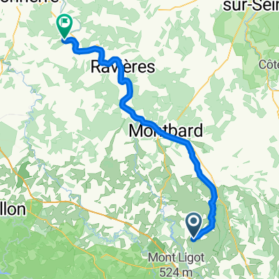
- De Avenue du Tir 29, Semur-en-Auxois à Avenue du Tir 29, Semur-en-Auxois
- Distance
- 28.5 km
- Ascent
- 268 m
- Descent
- 265 m
- Location
- Semur-en-Auxois, Bourgogne-Franche-Comté, France
- Da Place Notre Dame 32, Semur-en-Auxois a Via Dante Alighieri 4, Manerbio
- Distance
- 1,232.7 km
- Ascent
- 18,375 m
- Descent
- 18,589 m
- Location
- Semur-en-Auxois, Bourgogne-Franche-Comté, France
- Montigny sur Armançon - Tonnerre
- Distance
- 81.2 km
- Ascent
- 138 m
- Descent
- 324 m
- Location
- Semur-en-Auxois, Bourgogne-Franche-Comté, France
- precy saulieu
- Distance
- 34.1 km
- Ascent
- 306 m
- Descent
- 305 m
- Location
- Semur-en-Auxois, Bourgogne-Franche-Comté, France
- Avenue du Gén Mazillier 27, Semur-en-Auxois nach Rue René Laforge 26, Pouilly-en-Auxois
- Distance
- 50.3 km
- Ascent
- 200 m
- Descent
- 107 m
- Location
- Semur-en-Auxois, Bourgogne-Franche-Comté, France
- Semur - Lons (main roads)
- Distance
- 152 km
- Ascent
- 564 m
- Descent
- 585 m
- Location
- Semur-en-Auxois, Bourgogne-Franche-Comté, France
- Cyclo des monts de l'Auxois
- Distance
- 84.1 km
- Ascent
- 903 m
- Descent
- 903 m
- Location
- Semur-en-Auxois, Bourgogne-Franche-Comté, France
Open it in the app