
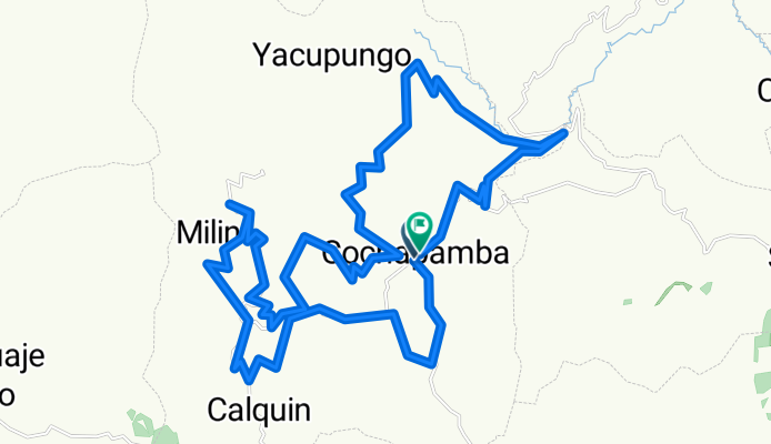
REY DE LA MONTAÑA 2014 - SEGUNDA VALIDA
A cycling route starting in Saquisilí, Cotopaxi, Ecuador.
Overview
About this route
<h1 style="margin: 0px 0px 0.3em; padding: 0px; font-size: 24px; font-weight: normal; line-height: 1.2em; clear: none; color: rgb(51, 51, 51); font-family: 'Helvetica Neue', Helvetica, Arial, sans-serif;"> REY DE LA MONTAÑA 2014 - SEGUNDA VALIDA</h1>
- -:--
- Duration
- 48.7 km
- Distance
- 1,214 m
- Ascent
- 1,217 m
- Descent
- ---
- Avg. speed
- ---
- Max. altitude

Continue with Bikemap
Use, edit, or download this cycling route
You would like to ride REY DE LA MONTAÑA 2014 - SEGUNDA VALIDA or customize it for your own trip? Here is what you can do with this Bikemap route:
Free features
- Save this route as favorite or in collections
- Copy & plan your own version of this route
- Sync your route with Garmin or Wahoo
Premium features
Free trial for 3 days, or one-time payment. More about Bikemap Premium.
- Navigate this route on iOS & Android
- Export a GPX / KML file of this route
- Create your custom printout (try it for free)
- Download this route for offline navigation
Discover more Premium features.
Get Bikemap PremiumFrom our community
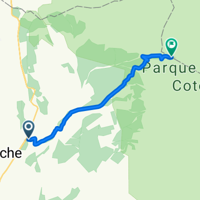
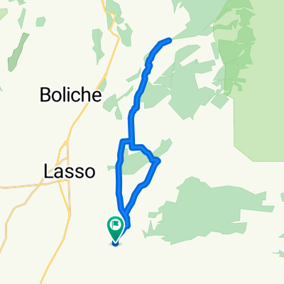
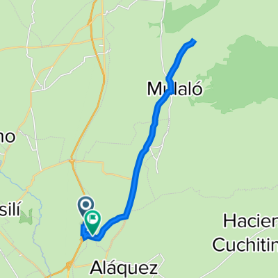
Other popular routes starting in Saquisilí
 REY DE LA MONTAÑA 2014 - SEGUNDA VALIDA
- Distance
- 48.7 km
- Ascent
- 1,214 m
- Descent
- 1,217 m
- Location
- Saquisilí, Cotopaxi, Ecuador
 Vuelta al Volcan Cotopaxi
- Distance
- 120 km
- Ascent
- 1,895 m
- Descent
- 1,896 m
- Location
- Saquisilí, Cotopaxi, Ecuador
 CARRERA VUELTA AL COTOPAXI 2010 PRIMER DIA Y SEGUNDO DIA CLONED FROM ROUTE 760805
- Distance
- 120.9 km
- Ascent
- 1,924 m
- Descent
- 1,921 m
- Location
- Saquisilí, Cotopaxi, Ecuador
 Cotopaxi
- Distance
- 16.2 km
- Ascent
- 721 m
- Descent
- 89 m
- Location
- Saquisilí, Cotopaxi, Ecuador
 De Unnamed Road, Saquisilí a Unnamed Road, Saquisilí
- Distance
- 8.3 km
- Ascent
- 243 m
- Descent
- 279 m
- Location
- Saquisilí, Cotopaxi, Ecuador
 De Vía a Mulaló a entrada al Cotopaxi
- Distance
- 32.2 km
- Ascent
- 421 m
- Descent
- 430 m
- Location
- Saquisilí, Cotopaxi, Ecuador
 chasqui - cotopaxi - machachi
- Distance
- 92.8 km
- Ascent
- 1,905 m
- Descent
- 1,901 m
- Location
- Saquisilí, Cotopaxi, Ecuador
 De Troncal de la Sierra a Latacunga
- Distance
- 27.3 km
- Ascent
- 304 m
- Descent
- 310 m
- Location
- Saquisilí, Cotopaxi, Ecuador
Open it in the app