Wohlbach - Adorf - Remtengrün
A cycling route starting in Schöneck, Saxony, Germany.
Overview
About this route
On the way on the new Elsterradweg.
- -:--
- Duration
- 25.9 km
- Distance
- 369 m
- Ascent
- 369 m
- Descent
- ---
- Avg. speed
- ---
- Max. altitude
Route quality
Waytypes & surfaces along the route
Waytypes
Road
12.2 km
(47 %)
Quiet road
6 km
(23 %)
Surfaces
Paved
16.3 km
(63 %)
Unpaved
2.1 km
(8 %)
Asphalt
13.2 km
(51 %)
Paved (undefined)
3.1 km
(12 %)
Continue with Bikemap
Use, edit, or download this cycling route
You would like to ride Wohlbach - Adorf - Remtengrün or customize it for your own trip? Here is what you can do with this Bikemap route:
Free features
- Save this route as favorite or in collections
- Copy & plan your own version of this route
- Sync your route with Garmin or Wahoo
Premium features
Free trial for 3 days, or one-time payment. More about Bikemap Premium.
- Navigate this route on iOS & Android
- Export a GPX / KML file of this route
- Create your custom printout (try it for free)
- Download this route for offline navigation
Discover more Premium features.
Get Bikemap PremiumFrom our community
Other popular routes starting in Schöneck
- Wohlbach-Schöneck-Talsperre Muldenberg
- Distance
- 31.6 km
- Ascent
- 536 m
- Descent
- 534 m
- Location
- Schöneck, Saxony, Germany
- Wohlbach - Erlbach - Markneukirchen - Adorf - Saalig
- Distance
- 37.4 km
- Ascent
- 468 m
- Descent
- 468 m
- Location
- Schöneck, Saxony, Germany
- Wohlbach-Schöneck-Erlbach-Wohlbach
- Distance
- 41.7 km
- Ascent
- 717 m
- Descent
- 764 m
- Location
- Schöneck, Saxony, Germany
- Wohlbach-Vogtlandarena-Klingenthal-Schöneck
- Distance
- 42 km
- Ascent
- 669 m
- Descent
- 669 m
- Location
- Schöneck, Saxony, Germany
- Wohlbach - Adorf - Remtengrün
- Distance
- 25.9 km
- Ascent
- 369 m
- Descent
- 369 m
- Location
- Schöneck, Saxony, Germany
- 1.Tag unserer Kammtour
- Distance
- 102.6 km
- Ascent
- 1,227 m
- Descent
- 1,107 m
- Location
- Schöneck, Saxony, Germany
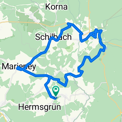
- Wohlbach - Hoher Stein - Adorf
- Distance
- 36.1 km
- Ascent
- 509 m
- Descent
- 552 m
- Location
- Schöneck, Saxony, Germany
- Wohlbach-Adorf-Sohl-Markneukirchen(Berg)-Breitenfeld
- Distance
- 33 km
- Ascent
- 470 m
- Descent
- 470 m
- Location
- Schöneck, Saxony, Germany
Open it in the app