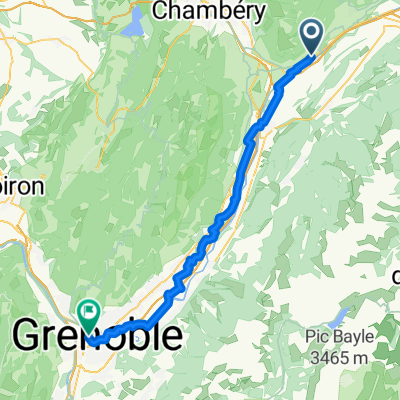
Bauges Alps 3 Col Loop
A cycling route starting in Cruet, Auvergne-Rh么ne-Alpes, France.
Overview
About this route
Great loop on very quiet roads in the Buages Alps
- -:--
- Duration
- 68.7 km
- Distance
- 1,533 m
- Ascent
- 1,532 m
- Descent
- ---
- Avg. speed
- ---
- Avg. speed
Route quality
Waytypes & surfaces along the route
Waytypes
Busy road
37.2 km
(54 %)
Road
25.7 km
(37 %)
Surfaces
Paved
62.4 km
(91 %)
Unpaved
0.8 km
(1 %)
Asphalt
62.4 km
(91 %)
Ground
0.5 km
(<1 %)
Route highlights
Points of interest along the route
Point of interest after 16 km
Col du Fr锚ne
Point of interest after 42.1 km
Col des Pr猫s
Point of interest after 57.6 km
Lac de la Thuile
Point of interest after 61.3 km
Col du Marocaz
Continue with Bikemap
Use, edit, or download this cycling route
You would like to ride Bauges Alps 3 Col Loop or customize it for your own trip? Here is what you can do with this Bikemap route:
Free features
- Save this route as favorite or in collections
- Copy & plan your own version of this route
- Sync your route with Garmin or Wahoo
Premium features
Free trial for 3 days, or one-time payment. More about Bikemap Premium.
- Navigate this route on iOS & Android
- Export a GPX / KML file of this route
- Create your custom printout (try it for free)
- Download this route for offline navigation
Discover more Premium features.
Get Bikemap PremiumFrom our community
Other popular routes starting in Cruet
- ESSAIS BAUGES SANS OBJET
- Distance
- 7.4 km
- Ascent
- 739 m
- Descent
- 195 m
- Location
- Cruet, Auvergne-Rh么ne-Alpes, France
- Bauges Alps 3 Col Loop
- Distance
- 68.7 km
- Ascent
- 1,533 m
- Descent
- 1,532 m
- Location
- Cruet, Auvergne-Rh么ne-Alpes, France
- Col du Fr锚ne
- Distance
- 68.8 km
- Ascent
- 1,455 m
- Descent
- 1,451 m
- Location
- Cruet, Auvergne-Rh么ne-Alpes, France
- Bauges Alpes - 3 Col Loop
- Distance
- 71.4 km
- Ascent
- 1,547 m
- Descent
- 1,545 m
- Location
- Cruet, Auvergne-Rh么ne-Alpes, France
- Cruet-Ugine-Annecy-Chateaufort-Cuchet-Lyon-Valence-Grenoble-Cruet 556km 2280hm
- Distance
- 555.7 km
- Ascent
- 3,023 m
- Descent
- 3,024 m
- Location
- Cruet, Auvergne-Rh么ne-Alpes, France
- Planaise - Tours Montmailleur
- Distance
- 18.3 km
- Ascent
- 603 m
- Descent
- 607 m
- Location
- Cruet, Auvergne-Rh么ne-Alpes, France
- Cruet Seynod 83 km
- Distance
- 82.7 km
- Ascent
- 384 m
- Descent
- 236 m
- Location
- Cruet, Auvergne-Rh么ne-Alpes, France
- Prealpes du Nord J7
- Distance
- 38 km
- Ascent
- 439 m
- Descent
- 929 m
- Location
- Cruet, Auvergne-Rh么ne-Alpes, France
Open it in the app