Froburg-Route
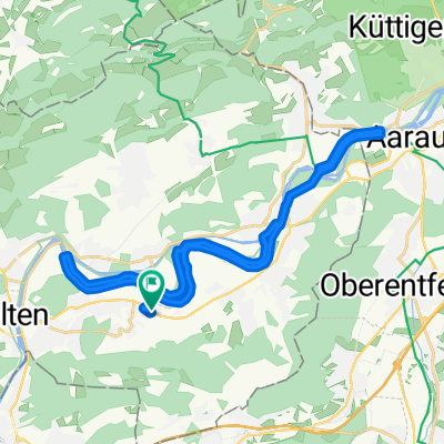
A cycling route starting in Obergösgen, Canton of Solothurn, Switzerland.
Overview
About this route
Dulliken-Trimbach-Froburg-Lostorf-Dulliken
- -:--
- Duration
- 21.1 km
- Distance
- 520 m
- Ascent
- 523 m
- Descent
- ---
- Avg. speed
- ---
- Max. altitude
Route quality
Waytypes & surfaces along the route
Waytypes
Track
8.9 km
(42 %)
Quiet road
3.4 km
(16 %)
Surfaces
Paved
5.3 km
(25 %)
Unpaved
9.1 km
(43 %)
Gravel
8.5 km
(40 %)
Asphalt
5.3 km
(25 %)
Continue with Bikemap
Use, edit, or download this cycling route
You would like to ride Froburg-Route or customize it for your own trip? Here is what you can do with this Bikemap route:
Free features
- Save this route as favorite or in collections
- Copy & plan your own version of this route
- Sync your route with Garmin or Wahoo
Premium features
Free trial for 3 days, or one-time payment. More about Bikemap Premium.
- Navigate this route on iOS & Android
- Export a GPX / KML file of this route
- Create your custom printout (try it for free)
- Download this route for offline navigation
Discover more Premium features.
Get Bikemap PremiumFrom our community
Other popular routes starting in Obergösgen
Froburg-Route- Distance
- 21.1 km
- Ascent
- 520 m
- Descent
- 523 m
- Location
- Obergösgen, Canton of Solothurn, Switzerland
Sonnhaldenstrasse 4, Obergösgen nach Sonnhaldenstrasse 6, Obergösgen- Distance
- 36.2 km
- Ascent
- 149 m
- Descent
- 202 m
- Location
- Obergösgen, Canton of Solothurn, Switzerland
Sonnhaldenstrasse 4, Obergösgen nach Sonnhaldenstrasse 6, Obergösgen- Distance
- 27.3 km
- Ascent
- 528 m
- Descent
- 566 m
- Location
- Obergösgen, Canton of Solothurn, Switzerland
K K G -Schinznach- Dorf K K G- Distance
- 54.5 km
- Ascent
- 307 m
- Descent
- 305 m
- Location
- Obergösgen, Canton of Solothurn, Switzerland
Sonnhaldenstrasse 4, Obergösgen nach Sonnhaldenstrasse 6, Obergösgen- Distance
- 39 km
- Ascent
- 153 m
- Descent
- 211 m
- Location
- Obergösgen, Canton of Solothurn, Switzerland
Sonnhaldenstrasse 4, Obergösgen nach Sonnhaldenstrasse 6, Obergösgen- Distance
- 30.7 km
- Ascent
- 176 m
- Descent
- 233 m
- Location
- Obergösgen, Canton of Solothurn, Switzerland
Aare-Rhein Rundtour- Distance
- 141.7 km
- Ascent
- 1,028 m
- Descent
- 1,051 m
- Location
- Obergösgen, Canton of Solothurn, Switzerland
Sonnhaldenstrasse 6, Obergösgen nach Sonnhaldenstrasse 4, Obergösgen- Distance
- 30.8 km
- Ascent
- 138 m
- Descent
- 192 m
- Location
- Obergösgen, Canton of Solothurn, Switzerland
Open it in the app

