

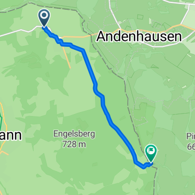
Katze-Hut-BR
A cycling route starting in Andenhausen, Free State of Thuringia, Germany.
Overview
About this route
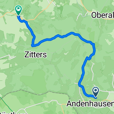
Katzenstein-LenderserHut-Frühstücksbuche-Bremen
- -:--
- Duration
- 13.4 km
- Distance
- 227 m
- Ascent
- 453 m
- Descent
- ---
- Avg. speed
- ---
- Max. altitude

Route quality
Waytypes & surfaces along the route
Waytypes
Track
11.3 km
(84 %)
Pedestrian area
0.9 km
(7 %)
Surfaces
Paved
0.7 km
(5 %)
Unpaved
12.6 km
(94 %)
Gravel
4.7 km
(35 %)
Ground
4.5 km
(34 %)
Continue with Bikemap
Use, edit, or download this cycling route
You would like to ride Katze-Hut-BR or customize it for your own trip? Here is what you can do with this Bikemap route:
Free features
- Save this route as favorite or in collections
- Copy & plan your own version of this route
- Sync your route with Garmin or Wahoo
Premium features
Free trial for 3 days, or one-time payment. More about Bikemap Premium.
- Navigate this route on iOS & Android
- Export a GPX / KML file of this route
- Create your custom printout (try it for free)
- Download this route for offline navigation
Discover more Premium features.
Get Bikemap PremiumFrom our community
Other popular routes starting in Andenhausen
 Rhönbergstraße 30–34, Tann (Rhön) nach Rhönbergstraße 30–34, Tann (Rhön)
- Distance
- 57.5 km
- Ascent
- 510 m
- Descent
- 507 m
- Location
- Andenhausen, Free State of Thuringia, Germany
 Route von Am Wäldchen 5, Tann (Rhön)
- Distance
- 5.6 km
- Ascent
- 82 m
- Descent
- 79 m
- Location
- Andenhausen, Free State of Thuringia, Germany
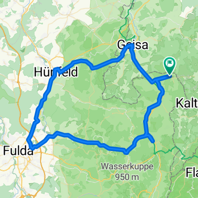 Rundweg Fulda Hünfeld Hof
- Distance
- 84.4 km
- Ascent
- 1,221 m
- Descent
- 1,218 m
- Location
- Andenhausen, Free State of Thuringia, Germany
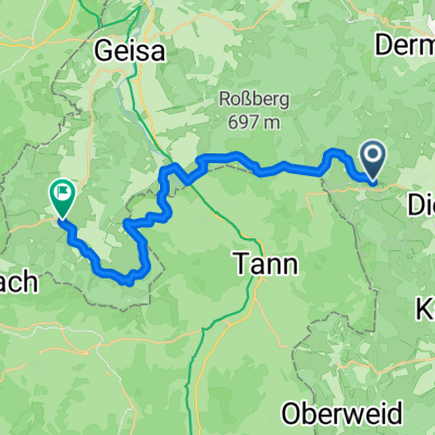 GDR2018-1
- Distance
- 21.3 km
- Ascent
- 356 m
- Descent
- 554 m
- Location
- Andenhausen, Free State of Thuringia, Germany
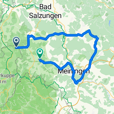 Knottenhof - Dermbach - Schmalkalden - Steinbach-Hallenberg - Schwarza - Obermaßfeld-Grimmenthal - Meiningen - Herpf - Kaltennordheim - Knottenhof
- Distance
- 103 km
- Ascent
- 664 m
- Descent
- 727 m
- Location
- Andenhausen, Free State of Thuringia, Germany
 Rhönbergstraße 30–34, Tann (Rhön) nach Bergmannstraße 1, Borken (Hessen)
- Distance
- 95.5 km
- Ascent
- 796 m
- Descent
- 1,223 m
- Location
- Andenhausen, Free State of Thuringia, Germany
 Katze-Hut-BR
- Distance
- 13.4 km
- Ascent
- 227 m
- Descent
- 453 m
- Location
- Andenhausen, Free State of Thuringia, Germany
 Hochrhöner Nordwest
- Distance
- 53.9 km
- Ascent
- 1,481 m
- Descent
- 1,180 m
- Location
- Andenhausen, Free State of Thuringia, Germany
Open it in the app