50Km_Bosse_Lichtenmoor_Frankenfeld
A cycling route starting in Frankenfeld, Lower Saxony, Germany.
Overview
About this route
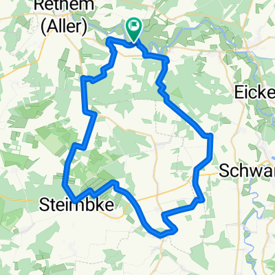
50 Km DRA_Tour_Training
cloned from RV-Etelsen
(cloned from route 1804305)
- -:--
- Duration
- 50.9 km
- Distance
- 61 m
- Ascent
- 62 m
- Descent
- ---
- Avg. speed
- ---
- Avg. speed
Route quality
Waytypes & surfaces along the route
Waytypes
Track
17.1 km
(34 %)
Quiet road
15.7 km
(31 %)
Surfaces
Paved
41.4 km
(81 %)
Unpaved
5 km
(10 %)
Asphalt
36 km
(71 %)
Concrete
3.7 km
(7 %)
Continue with Bikemap
Use, edit, or download this cycling route
You would like to ride 50Km_Bosse_Lichtenmoor_Frankenfeld or customize it for your own trip? Here is what you can do with this Bikemap route:
Free features
- Save this route as favorite or in collections
- Copy & plan your own version of this route
- Sync your route with Garmin or Wahoo
Premium features
Free trial for 3 days, or one-time payment. More about Bikemap Premium.
- Navigate this route on iOS & Android
- Export a GPX / KML file of this route
- Create your custom printout (try it for free)
- Download this route for offline navigation
Discover more Premium features.
Get Bikemap PremiumFrom our community
Other popular routes starting in Frankenfeld
- Die Wolfstour (Nord-Route)
- Distance
- 47.2 km
- Ascent
- 73 m
- Descent
- 73 m
- Location
- Frankenfeld, Lower Saxony, Germany
- Einfache Fahrt in Frankenfeld
- Distance
- 6.5 km
- Ascent
- 0 m
- Descent
- 0 m
- Location
- Frankenfeld, Lower Saxony, Germany
- Rodewalder Straße 367, Rethem (Aller) nach Rodewalder Straße 367, Rethem (Aller)
- Distance
- 47.7 km
- Ascent
- 313 m
- Descent
- 313 m
- Location
- Frankenfeld, Lower Saxony, Germany
- Bosse Ro
- Distance
- 49 km
- Ascent
- 247 m
- Descent
- 249 m
- Location
- Frankenfeld, Lower Saxony, Germany
- Rodewalder Straße 367, Rethem (Aller) nach Rodewalder Straße 367, Rethem (Aller)
- Distance
- 47.2 km
- Ascent
- 57 m
- Descent
- 60 m
- Location
- Frankenfeld, Lower Saxony, Germany
- Allerhof zum Reiterhof Hagedorn Steimbke
- Distance
- 9.7 km
- Ascent
- 36 m
- Descent
- 31 m
- Location
- Frankenfeld, Lower Saxony, Germany
- Bosse / Aller - Schneverdingen, ca. 72 km
- Distance
- 72.1 km
- Ascent
- 354 m
- Descent
- 298 m
- Location
- Frankenfeld, Lower Saxony, Germany
- 50Km_Bosse_Lichtenmoor_Frankenfeld
- Distance
- 50.9 km
- Ascent
- 61 m
- Descent
- 62 m
- Location
- Frankenfeld, Lower Saxony, Germany
Open it in the app