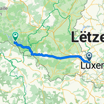
Da Rue Neuve 12A a Rue de l'École
- 42.8 km
- 626 m
- 623 m
- Steinfort, District de Luxembourg, Luxembourg
This route is 95 km long, covers height differences of 440 meters and starts in Kleinbettingen. It leads you in northern direction to Useldange. From there on, the track leads along different streams and rivers. First, it leads along the stream Attert which later runs into the Alzette river. You will follow the Alzette river to Ettelbreck, where it receives the sure and from there on the track leads along the Sure river. In Wasserbillig you will reach the end of the track where the Mosel river receives the Sure river.
Pictures: www.wikipedia.orgCycleway
37.6 km39 %Path
23.2 km24 %Paved
94.6 km(98 %)Unpaved
1 km(1 %)Asphalt
87.8 km91 %Concrete
5.8 km6 %Free trial for 3 days, or one-time payment. More about Bikemap Premium.
Discover more Premium features.
Get Bikemap PremiumOpen it in the app