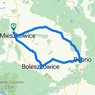
Mieszkowice-Chwarszczany-Mieszkowice
- 42.7 km
- 84 m
- 92 m
- Mieszkowice, West Pomeranian Voivodeship, Poland
A cycling route starting in Mieszkowice, West Pomeranian Voivodeship, Poland.
Overview
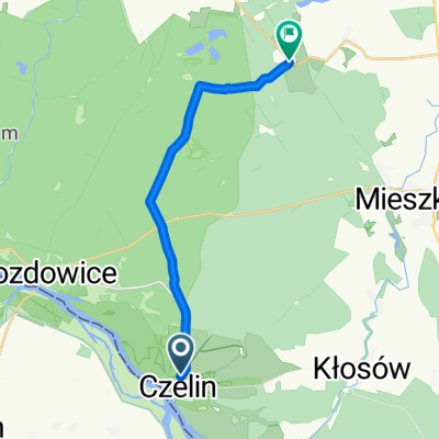
To the Krajnik Dolny border crossing over the rolling hills of Naluś, then through German territory along the Oder Neisse Radweg route.
created this 16 years ago
Route quality
Track
29.1 km
(40 %)
Road
11.6 km
(16 %)
Paved
45.1 km
(62 %)
Unpaved
5.1 km
(7 %)
Asphalt
41.4 km
(57 %)
Paved (undefined)
2.9 km
(4 %)
Route highlights
Continue with Bikemap
You would like to ride Mieszkowice - Gryfino or customize it for your own trip? Here is what you can do with this Bikemap route:
Free trial for 3 days, or one-time payment. More about Bikemap Premium.
Discover more Premium features.
Get Bikemap PremiumFrom our community
Open it in the app