

Rennsteig Tour
A cycling route starting in Schwabhausen, Thuringia, Germany.
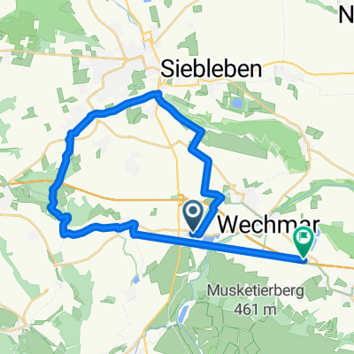
Overview
About this route
<p>
Start heading towards Ohrdruf</p>
<p>
some long climbs but also descents</p>
<p>
beautiful landscape ;-)</p>
<p>
(cloned from route 1614583)</p>
Translated, show original (German)- -:--
- Duration
- 84.9 km
- Distance
- 832 m
- Ascent
- 832 m
- Descent
- ---
- Avg. speed
- ---
- Max. altitude
Route quality
Waytypes & surfaces along the route
Waytypes
Track
50.1 km
(59 %)
Quiet road
16.1 km
(19 %)
Surfaces
Paved
39.9 km
(47 %)
Unpaved
34.8 km
(41 %)
Asphalt
35.7 km
(42 %)
Gravel
28 km
(33 %)
Continue with Bikemap
Use, edit, or download this cycling route
You would like to ride Rennsteig Tour or customize it for your own trip? Here is what you can do with this Bikemap route:
Free features
- Save this route as favorite or in collections
- Copy & plan your own version of this route
- Split it into stages to create a multi-day tour
- Sync your route with Garmin or Wahoo
Premium features
Free trial for 3 days, or one-time payment. More about Bikemap Premium.
- Navigate this route on iOS & Android
- Export a GPX / KML file of this route
- Create your custom printout (try it for free)
- Download this route for offline navigation
Discover more Premium features.
Get Bikemap PremiumFrom our community
Other popular routes starting in Schwabhausen
 Rund um die Drei Gleichen
- Distance
- 39.7 km
- Ascent
- 253 m
- Descent
- 249 m
- Location
- Schwabhausen, Thuringia, Germany
 Großer Inselsberg und zurück
- Distance
- 67.4 km
- Ascent
- 688 m
- Descent
- 688 m
- Location
- Schwabhausen, Thuringia, Germany
 BKpn2
BKpn2- Distance
- 82.9 km
- Ascent
- 460 m
- Descent
- 460 m
- Location
- Schwabhausen, Thuringia, Germany
 Burgenlandallee, Günthersleben-Wechmar nach Mühlenstraße, Günthersleben-Wechmar
- Distance
- 37.5 km
- Ascent
- 241 m
- Descent
- 240 m
- Location
- Schwabhausen, Thuringia, Germany
 Rennsteig Tour
- Distance
- 84.9 km
- Ascent
- 832 m
- Descent
- 832 m
- Location
- Schwabhausen, Thuringia, Germany
 Rennsteig Tour
- Distance
- 84.8 km
- Ascent
- 747 m
- Descent
- 747 m
- Location
- Schwabhausen, Thuringia, Germany
 Großer Inselsberg und zurück
- Distance
- 33.6 km
- Ascent
- 734 m
- Descent
- 130 m
- Location
- Schwabhausen, Thuringia, Germany
 Wechmarer Straße 53, Schwabhausen nach E40, Günthersleben-Wechmar
- Distance
- 20.4 km
- Ascent
- 214 m
- Descent
- 182 m
- Location
- Schwabhausen, Thuringia, Germany
Open it in the app