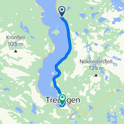
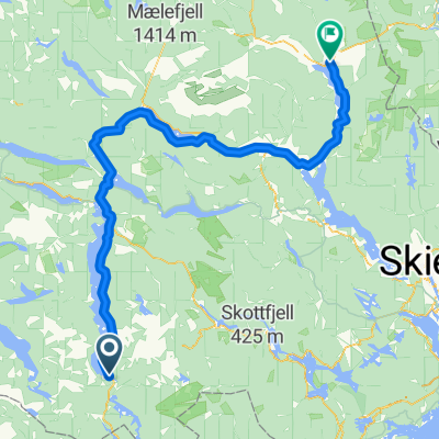
Bomveien ved Fjone-Fyrresdal
A cycling route starting in Treungen, Telemark, Norway.
Overview
About this route
Fin tur på blanding av grus og asfalt
- -:--
- Duration
- 99 km
- Distance
- 927 m
- Ascent
- 1,077 m
- Descent
- ---
- Avg. speed
- ---
- Max. altitude
Route quality
Waytypes & surfaces along the route
Waytypes
Busy road
64.9 km
(66 %)
Quiet road
21.2 km
(21 %)
Surfaces
Paved
56.5 km
(57 %)
Unpaved
21.2 km
(21 %)
Asphalt
56.5 km
(57 %)
Gravel
21.2 km
(21 %)
Undefined
21.3 km
(22 %)
Continue with Bikemap
Use, edit, or download this cycling route
You would like to ride Bomveien ved Fjone-Fyrresdal or customize it for your own trip? Here is what you can do with this Bikemap route:
Free features
- Save this route as favorite or in collections
- Copy & plan your own version of this route
- Split it into stages to create a multi-day tour
- Sync your route with Garmin or Wahoo
Premium features
Free trial for 3 days, or one-time payment. More about Bikemap Premium.
- Navigate this route on iOS & Android
- Export a GPX / KML file of this route
- Create your custom printout (try it for free)
- Download this route for offline navigation
Discover more Premium features.
Get Bikemap PremiumFrom our community
Other popular routes starting in Treungen
- Canvass runde alternativ 1
- Distance
- 34.4 km
- Ascent
- 765 m
- Descent
- 764 m
- Location
- Treungen, Telemark, Norway
- Canvass runde, opp til Gautefallheia
- Distance
- 31.2 km
- Ascent
- 690 m
- Descent
- 692 m
- Location
- Treungen, Telemark, Norway
- Canvass runde alternativ 2
- Distance
- 29 km
- Ascent
- 654 m
- Descent
- 654 m
- Location
- Treungen, Telemark, Norway
- Treungen-Fjone-Fyresvatn
- Distance
- 91.2 km
- Ascent
- 1,515 m
- Descent
- 1,512 m
- Location
- Treungen, Telemark, Norway
- Tag Vier
- Distance
- 107.4 km
- Ascent
- 906 m
- Descent
- 1,139 m
- Location
- Treungen, Telemark, Norway
- Tjønefoss-Grimstad
- Distance
- 108.3 km
- Ascent
- 1,440 m
- Descent
- 1,613 m
- Location
- Treungen, Telemark, Norway
- Øvre Telemark Ruta
- Distance
- 153.3 km
- Ascent
- 1,514 m
- Descent
- 1,076 m
- Location
- Treungen, Telemark, Norway
- Gautefall rundt
- Distance
- 95 km
- Ascent
- 684 m
- Descent
- 684 m
- Location
- Treungen, Telemark, Norway
Open it in the app