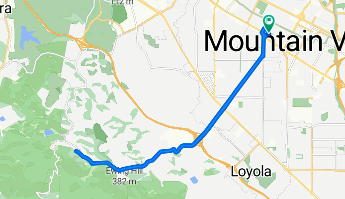
Moody quick
A cycling route starting in Mountain View, California, United States of America.
Overview
About this route
None
(cloned from route 669572)
(cloned from route 2563535)
- -:--
- Duration
- 19.1 km
- Distance
- 233 m
- Ascent
- 234 m
- Descent
- ---
- Avg. speed
- ---
- Avg. speed
Route quality
Waytypes & surfaces along the route
Waytypes
Busy road
9.6 km
(50 %)
Road
5.4 km
(28 %)
Surfaces
Paved
11.6 km
(61 %)
Asphalt
9.8 km
(52 %)
Paved (undefined)
1.8 km
(9 %)
Undefined
7.5 km
(39 %)
Continue with Bikemap
Use, edit, or download this cycling route
You would like to ride Moody quick or customize it for your own trip? Here is what you can do with this Bikemap route:
Free features
- Save this route as favorite or in collections
- Copy & plan your own version of this route
- Sync your route with Garmin or Wahoo
Premium features
Free trial for 3 days, or one-time payment. More about Bikemap Premium.
- Navigate this route on iOS & Android
- Export a GPX / KML file of this route
- Create your custom printout (try it for free)
- Download this route for offline navigation
Discover more Premium features.
Get Bikemap PremiumFrom our community
Other popular routes starting in Mountain View
- Route in Mountain View
- Distance
- 14.7 km
- Ascent
- 171 m
- Descent
- 172 m
- Location
- Mountain View, California, United States of America
- Peter's Hilly MountainView Ride
- Distance
- 38 km
- Ascent
- 460 m
- Descent
- 458 m
- Location
- Mountain View, California, United States of America
- Route1
- Distance
- 51.6 km
- Ascent
- 699 m
- Descent
- 710 m
- Location
- Mountain View, California, United States of America
- Tied House - Los Altos Hill Loop (Long)
- Distance
- 45.1 km
- Ascent
- 420 m
- Descent
- 418 m
- Location
- Mountain View, California, United States of America
- Charleston & Mayfield Slough from Shoreline
- Distance
- 15.4 km
- Ascent
- 40 m
- Descent
- 37 m
- Location
- Mountain View, California, United States of America
- Moody quick
- Distance
- 19.1 km
- Ascent
- 233 m
- Descent
- 234 m
- Location
- Mountain View, California, United States of America
- Los altos hills
- Distance
- 25.2 km
- Ascent
- 254 m
- Descent
- 254 m
- Location
- Mountain View, California, United States of America
- Flat bay ride in Mountain View
- Distance
- 18.7 km
- Ascent
- 116 m
- Descent
- 113 m
- Location
- Mountain View, California, United States of America