Linn nach Linn
- 25 km
- 1,050 m
- 1,033 m
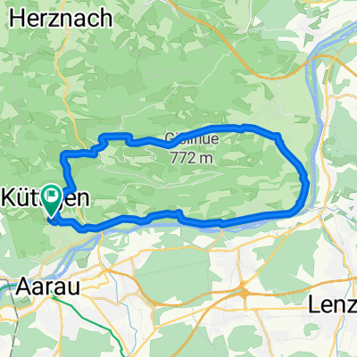
- Küttigen, Canton of Aargau, Switzerland
A cycling route starting in Küttigen, Canton of Aargau, Switzerland.
Overview
Scenic and very beautiful circular tour on the southern and northern foot of the Jura. Cantons AG, SO, BL
Route quality
Road
15.5 km
(41 %)
Quiet road
4.9 km
(13 %)
Paved
28.1 km
(74 %)
Unpaved
0.4 km
(1 %)
Asphalt
27.3 km
(72 %)
Paved (undefined)
0.8 km
(2 %)
Continue with Bikemap
You would like to ride Rundtour Küttigen-Saalhöhe-Benkerjoch or customize it for your own trip? Here is what you can do with this Bikemap route:
Free trial for 3 days, or one-time payment. More about Bikemap Premium.
Discover more Premium features.
Get Bikemap PremiumFrom our community
Open it in the app