

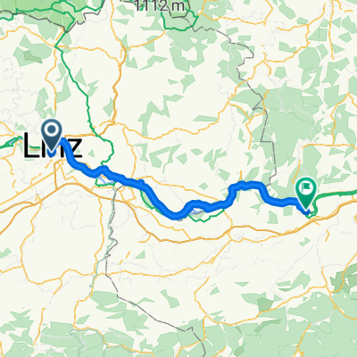
Pfenningberg Tour
A cycling route starting in Linz, Upper Austria, Austria.
Overview
About this route
0 km Starting point Pleschinger Lake
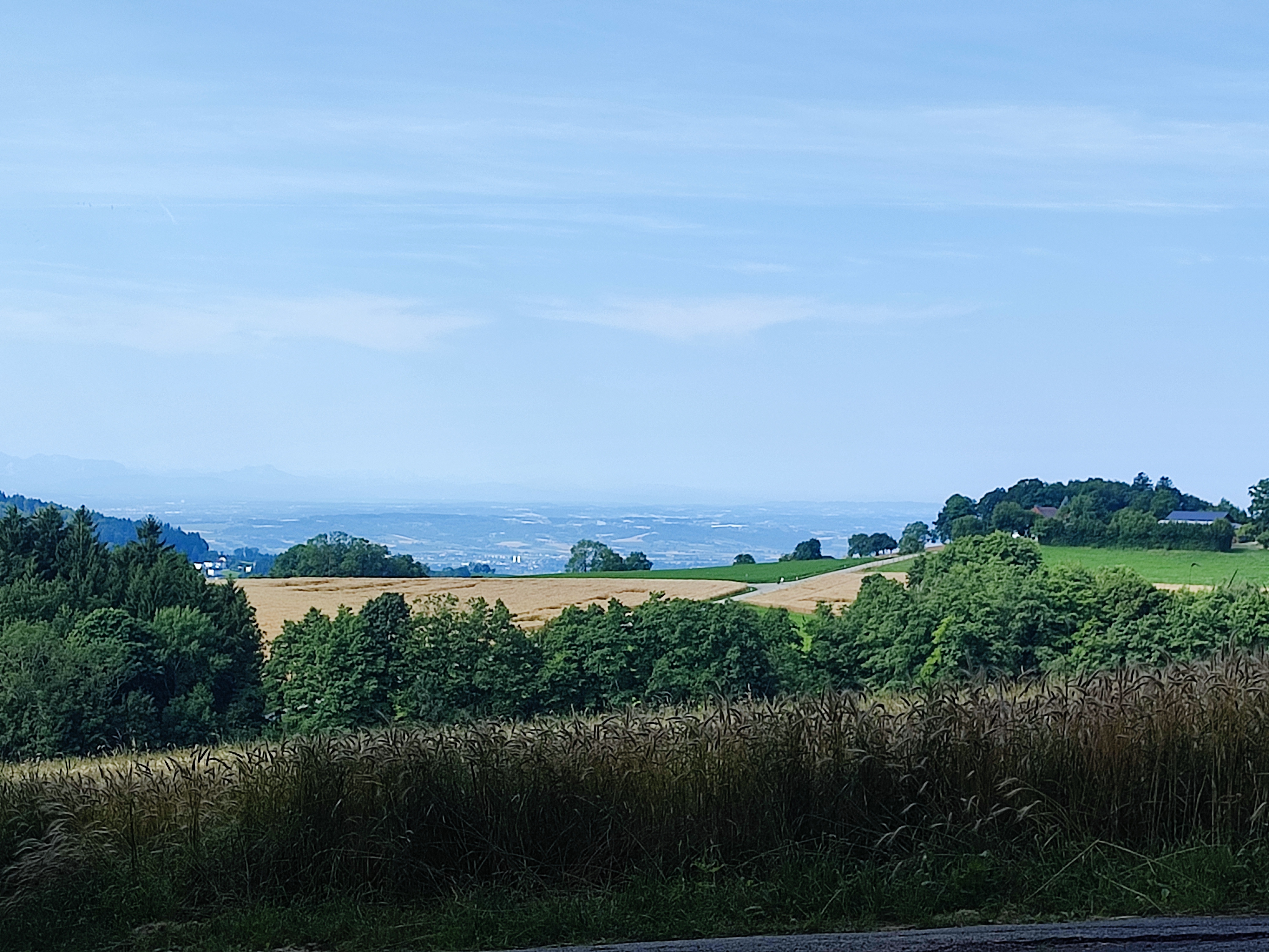
1.5 km Final stop Plesching, Linz AG Line 33 (Pleschinger Oysters and Shark Bank, nature reserve, approximately 500 m away) - direction Oberbergern - Burger (View of Linz) 3.6 km Huch - Hanl - Obernberger (Deer Reserve, Alpine view) 6.0 km Chapel Windegger Straße - Train Station 7.5 km Church (Mountain Settlement - Stations of the Cross, approximately 2 km away) - Kirchengasse (Elementary School and Music School) 8.1 km Town Office, Town Square (City hiking trail with night watchman) 12.7 km Lachstätter Straße - Lachstätter Goods Road 14.9 km Holzwinden (Riding School Hametner, Mühlviertel Panoramic View) 16.6 km Goods Road Holzwinden 19.0 km Götzelsdorf 20.9 km Pulgarn (Monastery, approximately 500 m away) - Bus Stop Pulgarn – Pleschinger Landesstraße towards Steyregg 23.3 km AVIA Gas Station to the Danube Cycle Path (Steyregg Leisure Center) 32.2 km Cycling path back to Pleschinger Lake 41.0 km Pleschinger Lake- -:--
- Duration
- 28.9 km
- Distance
- 458 m
- Ascent
- 458 m
- Descent
- ---
- Avg. speed
- ---
- Max. altitude

Route quality
Waytypes & surfaces along the route
Waytypes
Quiet road
17.4 km
(60 %)
Track
5.2 km
(18 %)
Surfaces
Paved
22 km
(76 %)
Unpaved
4.3 km
(15 %)
Asphalt
18.8 km
(65 %)
Paved (undefined)
3.2 km
(11 %)
Continue with Bikemap
Use, edit, or download this cycling route
You would like to ride Pfenningberg Tour or customize it for your own trip? Here is what you can do with this Bikemap route:
Free features
- Save this route as favorite or in collections
- Copy & plan your own version of this route
- Sync your route with Garmin or Wahoo
Premium features
Free trial for 3 days, or one-time payment. More about Bikemap Premium.
- Navigate this route on iOS & Android
- Export a GPX / KML file of this route
- Create your custom printout (try it for free)
- Download this route for offline navigation
Discover more Premium features.
Get Bikemap PremiumFrom our community
Other popular routes starting in Linz
 Seeweg nach Seeweg 9, Plesching
- Distance
- 51.1 km
- Ascent
- 155 m
- Descent
- 200 m
- Location
- Linz, Upper Austria, Austria
 MidlifeCycle 2025 - Day 12 - Ride 1 - Linz to Ybbs
- Distance
- 86.7 km
- Ascent
- 120 m
- Descent
- 161 m
- Location
- Linz, Upper Austria, Austria
 Leonfeldner Straße 68a nach Leonfeldner Straße 66a
- Distance
- 20.2 km
- Ascent
- 729 m
- Descent
- 774 m
- Location
- Linz, Upper Austria, Austria
 Linz - Plesching - St.Georgen - Galli - Linz
- Distance
- 40.6 km
- Ascent
- 292 m
- Descent
- 293 m
- Location
- Linz, Upper Austria, Austria
 Lange Ausfahrt durch Linz
- Distance
- 35.3 km
- Ascent
- 780 m
- Descent
- 794 m
- Location
- Linz, Upper Austria, Austria
 Trail GIS – Bachlberg Variante01
- Distance
- 21.7 km
- Ascent
- 713 m
- Descent
- 850 m
- Location
- Linz, Upper Austria, Austria
 Trail Pfenningbergrunde
- Distance
- 13.9 km
- Ascent
- 348 m
- Descent
- 350 m
- Location
- Linz, Upper Austria, Austria
 Trail Uni – Windpassing 2
- Distance
- 8.8 km
- Ascent
- 360 m
- Descent
- 360 m
- Location
- Linz, Upper Austria, Austria
Open it in the app