- 15.8 km
- 74 m
- 169 m
- Budapest XX. kerület, Budapest, Hungary
Big Route
A cycling route starting in Budapest XX. kerület, Budapest, Hungary.
Overview
About this route
Az útvonal túlnyomó részt lapos, egy két felüljárót és emelkedőt leszámítva.
Ajánlani főleg hétvégi, vagy késő esti tekeréshez tudom, mivel a Gyál-Üllő-Vecsés szakaszon nem kevés kamion dönget az utakon napközben.
Az idők folyamán hozzászoktam ehhez az általam csak nagy körnek nevezett útvonalhoz. Este hazaérek a melóból, lenyomom ezt az 58 km-t, levezetem a maradék energiát és a nap folyamán felgyülemlett feszültséget. Az előbb említett "vidéki" szakasz kifejezetten kellemes, csendes tud lenni esténként, minimális forgalommal.
- -:--
- Duration
- 58.7 km
- Distance
- 60 m
- Ascent
- 60 m
- Descent
- ---
- Avg. speed
- ---
- Max. altitude
created this 16 years ago
Route highlights
Points of interest along the route
Accommodation after 58.7 km
Big Route
Continue with Bikemap
Use, edit, or download this cycling route
You would like to ride Big Route or customize it for your own trip? Here is what you can do with this Bikemap route:
Free features
- Save this route as favorite or in collections
- Copy & plan your own version of this route
- Sync your route with Garmin or Wahoo
Premium features
Free trial for 3 days, or one-time payment. More about Bikemap Premium.
- Navigate this route on iOS & Android
- Export a GPX / KML file of this route
- Create your custom printout (try it for free)
- Download this route for offline navigation
Discover more Premium features.
Get Bikemap PremiumFrom our community
Other popular routes starting in Budapest XX. kerület
- Margit utca - Margit utca
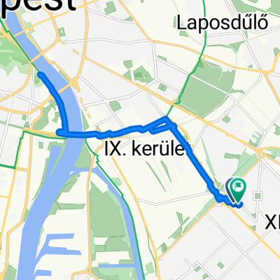
- Vízisport utca, Budapest - Vasút utca, Szigetszentmárton
- 101.6 km
- 128 m
- 133 m
- Budapest XX. kerület, Budapest, Hungary
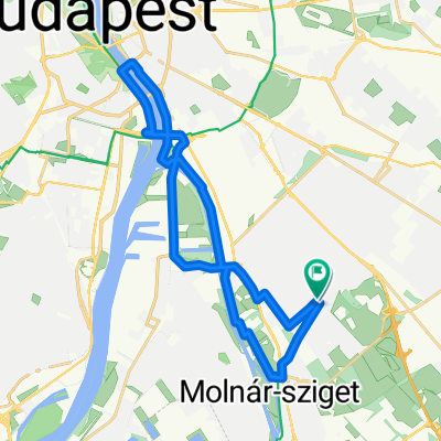
- Margit utca - Margit utca
- 58.3 km
- 299 m
- 346 m
- Budapest XX. kerület, Budapest, Hungary
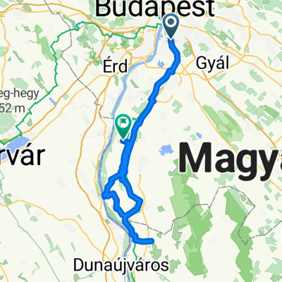
- Big Route
- 58.7 km
- 60 m
- 60 m
- Budapest XX. kerület, Budapest, Hungary
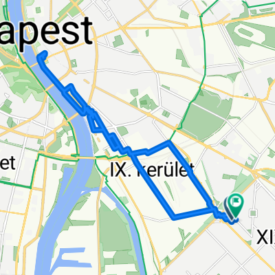
- Margit utca - Margit utca
- 20 km
- 179 m
- 226 m
- Budapest XX. kerület, Budapest, Hungary
- PE - Szabadság híd - PE
- 25.9 km
- 45 m
- 43 m
- Budapest XX. kerület, Budapest, Hungary
- Route nach Harta
- 100.6 km
- 145 m
- 149 m
- Budapest XX. kerület, Budapest, Hungary
- Csepel-Csobánka
- 35.2 km
- 170 m
- 79 m
- Budapest XX. kerület, Budapest, Hungary
Open it in the app


