

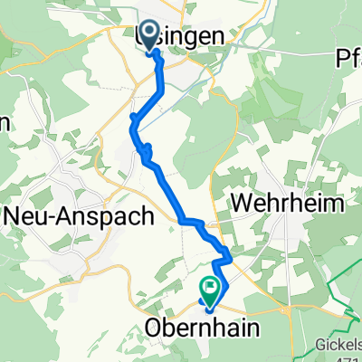
Rundfahrt Usi - Hoher Berg - Eschbacher Klippen - Wernborn - Wehrheim- NA - Usi
A cycling route starting in Usingen, Hesse, Germany.
Overview
About this route
Beautiful circular tour from Usingen to the Hattsteiner Weiher, up to the Hohen Berg, then towards the Eschbacher Klippen. Here there's a steep trail to tackle downhill. Continuing towards Wernborn, Usatal, Wehrheimer Forest, the old district road to Neu-Anspach, and back to Usingen.
- -:--
- Duration
- 33.9 km
- Distance
- 428 m
- Ascent
- 428 m
- Descent
- ---
- Avg. speed
- ---
- Max. altitude
Route quality
Waytypes & surfaces along the route
Waytypes
Track
17.6 km
(52 %)
Quiet road
9.8 km
(29 %)
Surfaces
Paved
16 km
(47 %)
Unpaved
16.3 km
(48 %)
Asphalt
14.6 km
(43 %)
Gravel
10.2 km
(30 %)
Continue with Bikemap
Use, edit, or download this cycling route
You would like to ride Rundfahrt Usi - Hoher Berg - Eschbacher Klippen - Wernborn - Wehrheim- NA - Usi or customize it for your own trip? Here is what you can do with this Bikemap route:
Free features
- Save this route as favorite or in collections
- Copy & plan your own version of this route
- Sync your route with Garmin or Wahoo
Premium features
Free trial for 3 days, or one-time payment. More about Bikemap Premium.
- Navigate this route on iOS & Android
- Export a GPX / KML file of this route
- Create your custom printout (try it for free)
- Download this route for offline navigation
Discover more Premium features.
Get Bikemap PremiumFrom our community
Other popular routes starting in Usingen
 Kinderroute2
- Distance
- 20 km
- Ascent
- 240 m
- Descent
- 247 m
- Location
- Usingen, Hesse, Germany
 Rund um den Winterstein
- Distance
- 35.4 km
- Ascent
- 562 m
- Descent
- 562 m
- Location
- Usingen, Hesse, Germany
 Bartholomäus-Arnoldi-Straße 55, Usingen nach Bartholomäus-Arnoldi-Straße 53, Usingen
- Distance
- 34.1 km
- Ascent
- 64 m
- Descent
- 326 m
- Location
- Usingen, Hesse, Germany
 Bartholomäus-Arnoldi-Straße 55A, Usingen nach Bartholomäus-Arnoldi-Straße 55, Usingen
- Distance
- 30 km
- Ascent
- 363 m
- Descent
- 366 m
- Location
- Usingen, Hesse, Germany
 Usingen - Bad Nauheim
- Distance
- 18.6 km
- Ascent
- 87 m
- Descent
- 296 m
- Location
- Usingen, Hesse, Germany
 Bahnhofstraße 30, Usingen nach Zur Klingelsmühle 4, Wehrheim
- Distance
- 8.8 km
- Ascent
- 108 m
- Descent
- 54 m
- Location
- Usingen, Hesse, Germany
 Schneefahrt
- Distance
- 17.6 km
- Ascent
- 260 m
- Descent
- 236 m
- Location
- Usingen, Hesse, Germany
 Usingen - Feldberg - Usingen 78 km
- Distance
- 78 km
- Ascent
- 1,658 m
- Descent
- 1,656 m
- Location
- Usingen, Hesse, Germany
Open it in the app